Gullfjellet
| Gullfjellet | |
|---|---|
 Gullfjellet in the horizon. Garnes in front. | |
| Highest point | |
| Elevation | 987 m (3,238 ft) |
| Prominence | 714 m (2,343 ft) [1] |
| Coordinates | 60°23′19″N 5°35′24″E / 60.38861°N 5.59000°ECoordinates: 60°23′19″N 5°35′24″E / 60.38861°N 5.59000°E |
| Geography | |
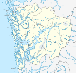 Gullfjellet Location within Hordaland | |
| Location | Bergen, Samnanger, Hordaland, Norway |
| Topo map | 1215 IV Samnanger |
| Climbing | |
| Easiest route | Hiking along cairns |
Gullfjellet (Gold Mountain) (987 meters above sea level), also called Gulfjellet, is the highest mountain in the municipality of Bergen in western Norway. It is situated on the border between Bergen and Samnanger, Hordaland. The name "Gul" is an old name for a strong wind, so the old name - Gulfjellet - means "the mountain with strong wind".
Due to its importance as a hiking attraction, and much bad weather, large and numerous cairns have been put up ("Varderekka") to guide hikers from both sides of the mountain. The watercourses on Gullfjellet supports large parts of the Bergen region with piped water.
Svartavatnet is situated 400 m. to the West of the mountain.[2]
References

View from Gullfjellet.

Redningshytten at Gullfjellet.
This article is issued from Wikipedia - version of the 5/28/2015. The text is available under the Creative Commons Attribution/Share Alike but additional terms may apply for the media files.