Hales Place
Coordinates: 51°17′42″N 1°04′48″E / 51.295°N 1.08°E
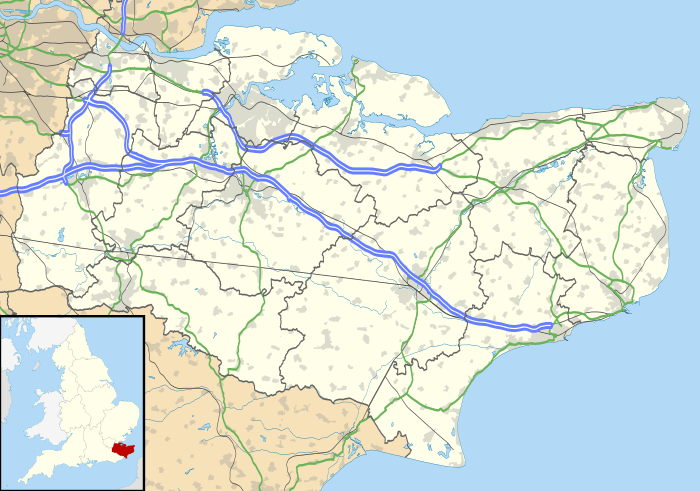
The residential area known as Hales Place is part of the civil parish of Hackington, and lies to the north of the city of Canterbury in Kent, England. It has a high population of students from the nearby University of Kent.[1]
History
The area is named after a former grand house, Hales Place, itself named after the Hales family who bought the land in 1675.[2] Hales Place replaced an older house called Place House which was situated on land originally owned by the Manwood Family.[2] Construction of Hales Place (the house) took place sometime between 1766 and 1769 just north of the road now called The Terrace.[2][3][4] The Terrace is so named as it is where the house's terrace was situated, a terrace which commanded "a most beautiful view of the metropolitan city of Kent".[2] The northern, western and southern boundaries of the area now known as Hales Place are largely coterminous with those of the parkland in which the house was situated.[4]
Ownership remained in the Hales family until 1880, when it was sold to exiled Jesuits from Lyon and turned into a college.[3] The college was popular with the French nobility who sent their sons there to learn away from political persecution in France.[5] In 1928 the estate was sold and the house was demolished in the following years. Its chapel (originally a dovecote) and the burial ground still remain, located by the Tenterden Drive layby.[2]
Folly Farm, a grade II listed building with early 17th century origins, stands at the far east of the area.[6]
References
- ↑ http://www.british-towns.net/en/level_4_display.asp?GetL3=10626
- 1 2 3 4 5 Hales Place Historic Canterbury
- 1 2 Hales Family Estates The National Archives
- 1 2 OS Six Inch 1888-1913 National Library of Scotland - adjust overlay transparency
- ↑ TOPIC: HALES PLACE, HACKINGTON Kent History Forum
- ↑ Folly Farm Historic England
External links
![]() Media related to Hales Place at Wikimedia Commons
Media related to Hales Place at Wikimedia Commons
