Hazelwood, Portland, Oregon
| Hazelwood | |
|---|---|
| Neighborhood | |
 Hazelwood | |
|
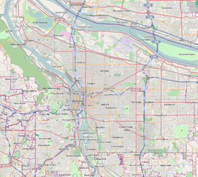
Coordinates: 45°31′16″N 122°32′07″W / 45.52124°N 122.53521°WCoordinates: 45°31′16″N 122°32′07″W / 45.52124°N 122.53521°W PDF map | |
| Country | United States |
| State | Oregon |
| City | Portland |
| Government | |
| • Association | Hazelwood Neighborhood Association |
| • Coalition | East Portland Neighborhood Office |
| Area | |
| • Total | 4.04 sq mi (10.47 km2) |
| Population (2000)[1] | |
| • Total | 19,916 |
| • Density | 4,930/sq mi (1,902/km2) |
| Housing[1] | |
| • No. of households | 7641 |
| • Occupancy rate | 95% occupied |
| • % households renting | 45% renting |
| • Avg. household size | 2.61 persons |
Hazelwood is a neighborhood in the Northeast and Southeast sections of Portland, Oregon. Prior being annexed by Portland, the community was enumerated as a "Census-designated place". The community recorded a population of 25,541 in 1980[2] and 11,480 in 1990.[3]
References
External links
- Guide to Hazelwood Neighborhood (PortlandNeighborhood.com)
This article is issued from Wikipedia - version of the 9/4/2016. The text is available under the Creative Commons Attribution/Share Alike but additional terms may apply for the media files.