Horinger County
Not to be confused with Holingol.
| Horinger County 和林格尔 • ᠬᠣᠷᠢᠨᠭᠡᠷᠰᠢᠶᠠᠨ | |
|---|---|
| County | |
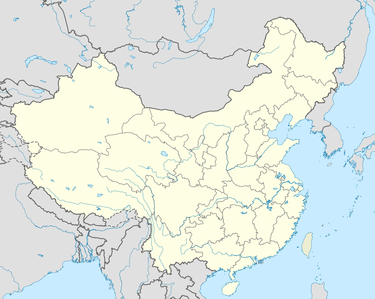
 Horinger County Location in China | |
| Coordinates: 40°24′0″N 111°48′0″E / 40.40000°N 111.80000°ECoordinates: 40°24′0″N 111°48′0″E / 40.40000°N 111.80000°E | |
| Country | China |
| Province | Inner Mongolia |
| Prefecture-level city | Huhhot |
| Area | |
| • Total | 3,401 km2 (1,313 sq mi) |
| Elevation | 1,100 m (3,600 ft) |
| Population | |
| • Total | 187,000 |
| • Density | 55/km2 (140/sq mi) |
| Time zone | China Standard (UTC+8) |
| Postal code | 011500 |
| Area code(s) | 0471 |
Horinger (Mongolian: ᠬᠣᠷᠢᠨ ᠭᠡᠷ ᠰᠢᠶᠠᠨ Қорин Гэр сиыан Qorin Ger siyan; simplified Chinese: 和林格尔; traditional Chinese: 和林格爾; pinyin: Hélíngé'ěr) is a county of Inner Mongolia, China. It is under the jurisdiction of Huhhot.
Transport
- China National Highway 209
- Inner Mongolia Provincial Highway 210
- Fengzhun Railway
Economy
- GDP: RMB ¥7.82 billion in 2006
- Pillar industries: milk industry, wool industry, forestry, lamb and beef industry
- Mengniu, the biggest manufacturer of dairy products in China, is based in Horinger.
Education
- At year-end of 2006, there are 46 primary and secondary schools and 4 kindergartens in the city.
- Number of students enrolled at year-end of 2006: 655 in kindergartens, 10962 in primary schools, 10241 in junior high schools, 4417 in senior high schools.
- Number of teachers at year-end of 2006: 1834 full-time teachers and staff
- Percentage of children of the right age attending primary school in 2006: 100%
- Percentage of primary school graduates entering a higher school in 2006: 100%
- Percentage of junior high graduates entering a higher school in 2006: 83.59%
Health
- Number of medical entities at year-end of 2005: 14
- Number of health-care entities at year-end of 2005: 1
- Number of hospital beds at year-end of 2005: 178
- Number of medical doctors, registered nurses and medical technicians at year end of 2005: 230
History
Tuchengzi, the capital of the Zhenwu County of the Liao Empire was located within today's Horinger County. It is a major archaeological site now.[1][2]
External links
References
- ↑ TOMB OF COUPLE WITH FRESCOES DISCOVERED IN INNER MONGOLIA, CHINA HERITAGE QUARTERLY, China Heritage Project, The Australian National University. ISSN 1833-8461. No. 7, September 2006
- ↑ 900-year-old tombs discovered in N. China region. People's Daily, UPDATED: 13:56, May 04, 2006
This article is issued from Wikipedia - version of the 5/27/2016. The text is available under the Creative Commons Attribution/Share Alike but additional terms may apply for the media files.