Hussein Dey District
| Hussein Dey District دائرة حسين داي | |
|---|---|
| District | |
 Map of Algeria highlighting Algiers Province | |
 Map of Algiers Province highlighting Hussein Dey District | |
| Country |
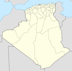
|
| Province | Algiers |
| District seat | Hussein Dey, Hussein Dey District, Algeria |
| Population (1998) | |
| • Total | 244,879 |
| Time zone | CET (UTC+01) |
| District code | 08 |
| Municipalities | 4 |
Hussein Dey is a district in Algiers Province, Algeria. It was named after the Ottoman provincial rulers of the Regency of Algiers.
He had installed his country house near the beaches of the suburb of Algiers. On the shores of Hussein-Dey had failed in 1541 the ships of the fleet of Charles Quint. Located on the seafront, between the Jardin d’essai, Maison Carree Kouba. Hussein-Dey had several County in its periphery: Leveilley, Brossette, La Montagne, Bel Air, La Cressonnière, Panorama, Eucalyptus, Côte-Blanche, Côte-Rouge,Lafarge.
Municipalities
The district is further divided into 4 municipalities:
- Hussein Dey
- Kouba
- El Magharia
- Mohamed Belouizdad
Coordinates: 36°44′40″N 3°05′31″E / 36.744318°N 3.092008°E
This article is issued from Wikipedia - version of the 6/15/2015. The text is available under the Creative Commons Attribution/Share Alike but additional terms may apply for the media files.