Imías
| Imías | |
|---|---|
| Municipality | |
.png) Imías municipality (red) within Guantánamo Province (yellow) and Cuba | |
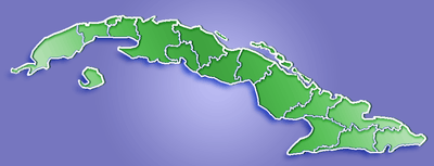 Location of Imías in Cuba | |
| Coordinates: 20°04′36″N 74°39′7″W / 20.07667°N 74.65194°WCoordinates: 20°04′36″N 74°39′7″W / 20.07667°N 74.65194°W | |
| Country |
|
| Province | Guantánamo |
| Area[1] | |
| • Total | 524 km2 (202 sq mi) |
| Elevation | 30 m (100 ft) |
| Population (2004)[2] | |
| • Total | 20,959 |
| • Density | 40.0/km2 (104/sq mi) |
| Time zone | EST (UTC-5) |
| Area code(s) | +53-21 |
Imías is a municipality and town in the Guantánamo Province of Cuba. It is located on the southern coast of Cuba, bordering the Windward Passage to the south.
Overview
The municipality of Imías borders with San Antonio del Sur, Baracoa and Maisí. The town is crossed by the Carretera Central, a west-east highway spanning the length of Cuba, and counts a little airport.[3]
Demographics
In 2004, the municipality of Imías had a population of 20,959.[2] With a total area of 524 km2 (202 sq mi),[1] it has a population density of 40.0/km2 (104/sq mi).
See also
References
- 1 2 Statoids. "Municipios of Cuba". Retrieved 2007-10-05.
- 1 2 Atenas.cu (2004). "2004 Population trends, by Province and Municipality". Archived from the original on September 27, 2007. Retrieved 2007-10-05. (Spanish)
- ↑ Imías Airport on Airport Database website
External links
![]() Media related to Imías at Wikimedia Commons
Media related to Imías at Wikimedia Commons
This article is issued from Wikipedia - version of the 9/10/2016. The text is available under the Creative Commons Attribution/Share Alike but additional terms may apply for the media files.