Inanda, Gauteng
| Inanda | |
|---|---|
 Inanda  Inanda  Inanda
| |
|
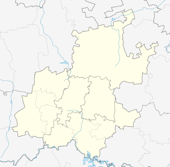
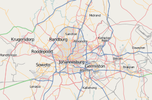
Location within Greater Johannesburg  Inanda | |
| Coordinates: 26°07′16″S 28°03′25″E / 26.121°S 28.057°ECoordinates: 26°07′16″S 28°03′25″E / 26.121°S 28.057°E | |
| Country | South Africa |
| Province | Gauteng |
| Municipality | City of Johannesburg |
| Main Place | Sandton |
| Area[1] | |
| • Total | 0.55 km2 (0.21 sq mi) |
| Population (2011)[1] | |
| • Total | 842 |
| • Density | 1,500/km2 (4,000/sq mi) |
| Racial makeup (2011)[1] | |
| • Black African | 39.6% |
| • Coloured | 0.6% |
| • Indian/Asian | 2.8% |
| • White | 56.0% |
| • Other | 0.9% |
| First languages (2011)[1] | |
| • English | 57.7% |
| • Zulu | 10.4% |
| • Afrikaans | 7.3% |
| • Northern Sotho | 5.4% |
| • Other | 19.2% |
| Postal code (street) | 4309 |
| PO box | 4310 |
Inanda is a suburb of Sandton, Johannesburg, South Africa. It is situated in Region 3, on Rivonia Road about 1.5 km from Sandton city. The suburb contains the Inanda Club, an elite equestrian and Polo establishment, and St David's Marist Inanda, a primary and high school with a combined intake of over 1100 pupils.
References
- 1 2 3 4 "Sub Place Inanda". Census 2011.
This article is issued from Wikipedia - version of the 9/3/2013. The text is available under the Creative Commons Attribution/Share Alike but additional terms may apply for the media files.