Island Lake, Manitoba
| Island Lake | |
|---|---|
| First Nations Community | |
|
Aerial view of the community | |
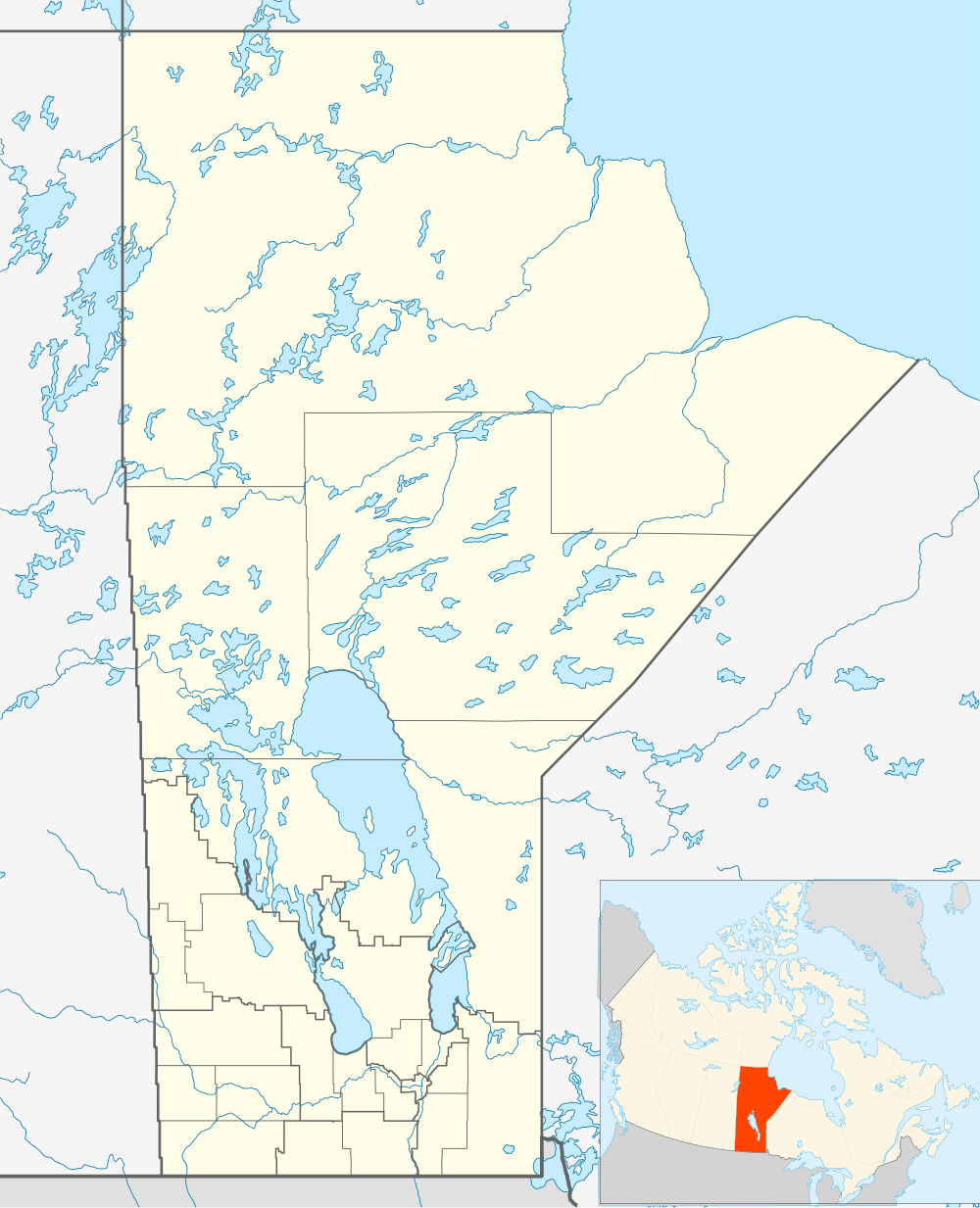 Island Lake Location of Island Lake in Manitoba | |
| Coordinates: 53°51′56″N 94°39′06″W / 53.865486°N 94.651566°WCoordinates: 53°51′56″N 94°39′06″W / 53.865486°N 94.651566°W | |
| Country | Canada |
| Province | Manitoba |
Island Lake is a small community in east central Manitoba, Canada.
The community is on several islands in Island Lake, which is the 6th largest lake in the province. The community is located 297 kilometers (185 mi) east from Thompson, Manitoba and 300 kilometers northeast of Winnipeg, Manitoba . Other nearby communities on the lake are Garden Hill, St. Theresa Point and Wassagamack. The community is served by the Island Lake Airport. The community of Island Lake consists of several government and private agencies such as a Royal Canadian Mounted Police detachment, Manitoba Conservation office, Manitoba Infrastructure and Transportation (operates the airport) Stevenson Island School (Frontier School Division), Manitoba Telephone Company, Manitoba Hydro office, The Northwest Company which operates the Northern Store, several small convenience stores and Island Lake Lodge, a fly fishing lodge on Stevenson Island.
Perimeter Airlines has daily service to Island Lake from Winnipeg, Manitoba using Bombardier Dash 8 and Fairchild Swearingen Metroliners. They also have a Medevac Base on Stevenson Island serving the community 365 days a year.
Climate
With 21.11 hours of fog annually, Island Lake is one of the least foggy places in Canada. Only Penticton gets less fog during the year, and no one gets less fog in February when Island Lake averages a mere 0.67 hours.
| Climate data for Island Lake | |||||||||||||
|---|---|---|---|---|---|---|---|---|---|---|---|---|---|
| Month | Jan | Feb | Mar | Apr | May | Jun | Jul | Aug | Sep | Oct | Nov | Dec | Year |
| Record high °C (°F) | 5.9 (42.6) |
7.5 (45.5) |
16.2 (61.2) |
29.2 (84.6) |
32.2 (90) |
37.3 (99.1) |
35 (95) |
32.3 (90.1) |
30.4 (86.7) |
21.7 (71.1) |
15 (59) |
4.4 (39.9) |
37.3 (99.1) |
| Average high °C (°F) | −17.7 (0.1) |
−12.4 (9.7) |
−3.8 (25.2) |
5.6 (42.1) |
13.7 (56.7) |
19.5 (67.1) |
22.5 (72.5) |
21.1 (70) |
13.5 (56.3) |
5.7 (42.3) |
−4.9 (23.2) |
−14.8 (5.4) |
4 (39) |
| Daily mean °C (°F) | −22.9 (−9.2) |
−18.6 (−1.5) |
−10.8 (12.6) |
−0.8 (30.6) |
7.7 (45.9) |
14 (57) |
17.5 (63.5) |
16.4 (61.5) |
9.5 (49.1) |
2.6 (36.7) |
−8.3 (17.1) |
−19.4 (−2.9) |
−1.1 (30) |
| Average low °C (°F) | −28.1 (−18.6) |
−24.8 (−12.6) |
−17.8 (0) |
−7.1 (19.2) |
1.5 (34.7) |
8.4 (47.1) |
12.5 (54.5) |
11.6 (52.9) |
5.5 (41.9) |
−0.6 (30.9) |
−11.6 (11.1) |
−23.9 (−11) |
−6.2 (20.8) |
| Record low °C (°F) | −45 (−49) |
−43.3 (−45.9) |
−42.2 (−44) |
−28.9 (−20) |
−16.6 (2.1) |
−1.9 (28.6) |
2.2 (36) |
2.2 (36) |
−4.4 (24.1) |
−13.4 (7.9) |
−34.8 (−30.6) |
−43.3 (−45.9) |
−45 (−49) |
| Average precipitation mm (inches) | 20.1 (0.791) |
18.6 (0.732) |
24 (0.94) |
26.2 (1.031) |
42.8 (1.685) |
69.1 (2.72) |
89.4 (3.52) |
77.4 (3.047) |
61.8 (2.433) |
55.8 (2.197) |
36.3 (1.429) |
24.4 (0.961) |
546.2 (21.504) |
| Source: Environment Canada[1] | |||||||||||||
Demographics
In the 2011 Census, the Island Lake designated place had a population of 62 living in 26 of its 26 total private dwellings.[2]
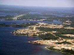
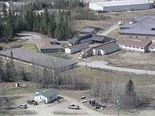
Gallery
 Garden Hill Health Centre
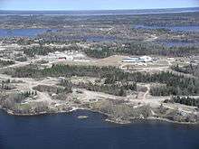 Garden Hill
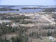 Garden Hill First Nations
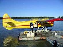 Island Lake Lodge dock
References
- ↑ Environment Canada—Canadian Climate Normals 1971–2000, accessed 27 April 2010
- ↑ "Corrections and updates: Population and dwelling count amendments, 2011 Census". Statistics Canada. 14 February 2013. Retrieved 16 February 2013.