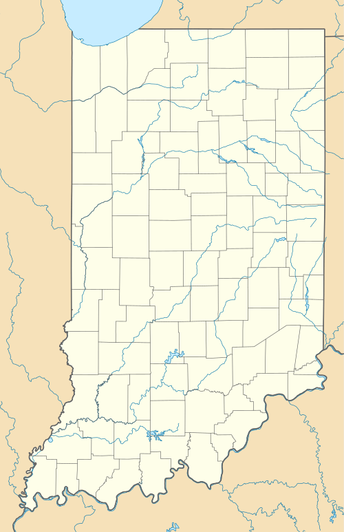
J.E. Roush Fish and Wildlife Area
| J.E. Roush Fish and Wildlife Area | |
|---|---|
|
IUCN category IV (habitat/species management area) | |
|
Fall at J.E. Roush Lake | |
 | |
| Location | Huntington and Wells counties, Indiana, United States |
| Nearest city | Huntington, IN |
| Coordinates | 40°49′39″N 85°21′14″W / 40.827633°N 85.353883°WCoordinates: 40°49′39″N 85°21′14″W / 40.827633°N 85.353883°W |
| Area | 8,217 acres (33.3 km2) |
| Established | 1956 |
| Governing body | Indiana Department of Natural Resources |
| http://www.in.gov/dnr/fishwild/6358.htm | |
J.E. Roush Fish and Wildlife Area is an area dedicated to providing hunting and fishing opportunities while maintaining 8,217 acres (3,325 ha), 870 acres (350 ha) of which are water of J.E. Roush Lake. It is located along U.S. Route 224 east of Huntington, Indiana. Water levels of the flood control reservoir are maintained by the U.S. Army Corps of Engineers.[1]
Hunting
Hunting opportunities include hungitn for deer, small game, waterfowl, and turkey.
Facilities
- Wildlife Viewing
- Ice Fishing
- Hunting
- Trapping
- Shooting Range
- Archery Range
- Dog Training Area
- Boat Ramp (Motors permitted)
- Dump Station
- Camping
- 25 full hook-up
- 20 primitive sites
References
- ↑ "J.E. Roush Lake". Indiana Department of Natural Resources. Retrieved October 13, 2012.
This article is issued from Wikipedia - version of the 11/19/2016. The text is available under the Creative Commons Attribution/Share Alike but additional terms may apply for the media files.
