Jiagedaqi District
| Jiagedaqi 加格达奇区 | |
|---|---|
| District | |
 | |
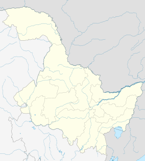
.png) Location of the district in Heilongjiang (outline in red) and in the PRC (pinpoint) | |
 Jiagedaqi Location relative to Heilongjiang | |
| Coordinates: 50°25′12″N 124°04′12″E / 50.42000°N 124.07000°ECoordinates: 50°25′12″N 124°04′12″E / 50.42000°N 124.07000°E | |
| Country | People's Republic of China |
| Province | Heilongjiang |
| Prefecture | Daxing'anling |
| Area | |
| • Total | 1,587 km2 (613 sq mi) |
| Elevation | 472 m (1,549 ft) |
| Population | |
| • Total | 156,000 |
| • Density | 98/km2 (250/sq mi) |
| Time zone | China Standard (UTC+8) |
| Postal code | 165000 |
| Area code(s) | 0457 |
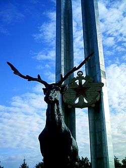
Jiagedaqi (Oroqen: Jagdaqi, meaning "area with Pinus sylvestris var. mongolica Litvin"; simplified Chinese: 加格达奇区; traditional Chinese: 加格達奇區; pinyin: Jiāgédáqí Qū) is a district and the seat of Daxing'anling Prefecture, Northeast China. Its physical location is in Inner Mongolia; however, it is under the jurisdiction of Heilongjiang Province.
Transport
- Jiagedaqi Airport
- China National Highway 111
- Inner Mongolia Provincial Highway 301
- Nenjiang-Greater Khingan Forest (Nenlin) Railway
External links
- Official site of Jiagedaqi (Chinese)
This article is issued from Wikipedia - version of the 10/25/2015. The text is available under the Creative Commons Attribution/Share Alike but additional terms may apply for the media files.