Jake Garn Airport
| Jake Garn Airport | |||||||||||
|---|---|---|---|---|---|---|---|---|---|---|---|
| IATA: none – ICAO: none – FAA LID: 17U | |||||||||||
| Summary | |||||||||||
| Airport type | Public use | ||||||||||
| Owner | Eagle Mountain Properties, LLC | ||||||||||
| Serves | Eagle Mountain, Utah | ||||||||||
| Elevation AMSL | 4,845 ft / 1,477 m | ||||||||||
| Coordinates | 40°15′49″N 112°01′16″W / 40.26361°N 112.02111°WCoordinates: 40°15′49″N 112°01′16″W / 40.26361°N 112.02111°W | ||||||||||
| Map | |||||||||||
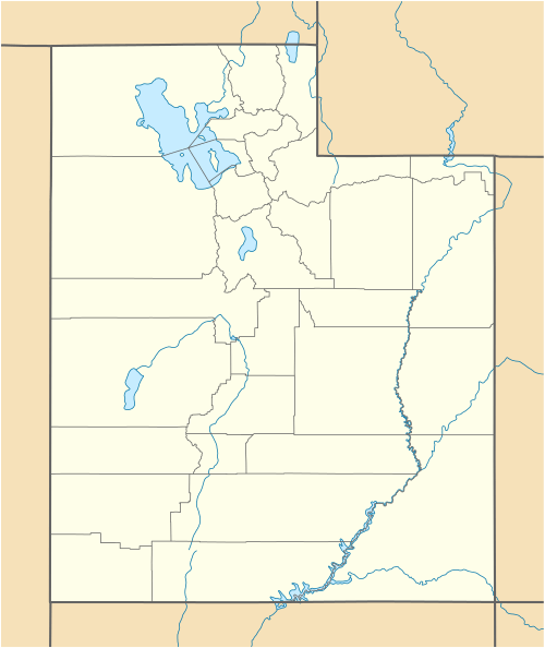 17U Location of airport in Utah | |||||||||||
| Runways | |||||||||||
| |||||||||||
| Statistics (2007) | |||||||||||
| |||||||||||
Jake Garn Airport (FAA LID: 17U) is a privately owned, public use airport located 3 nautical miles (6 km) southwest of the central business district of Eagle Mountain, a city in Utah County, Utah, United States. The airport opened in May 2000.[1][2]
Facilities and aircraft
Jake Garn Airport covers an area of 438 acres (177 ha) at an elevation of 4,845 feet (1,477 m) above mean sea level. It has one runway designated 17/35 with an asphalt and gravel surface measuring 5,000 by 50 feet (1,524 x 15 m).[1][2]
For the 12-month period ending December 31, 2007, the airport had an average of 82 general aviation aircraft operations per week, of which 95% were local and 5% were transient.[1][2]
References
- 1 2 3 4 FAA Airport Master Record for 17U (Form 5010 PDF). Federal Aviation Administration. Effective August 27, 2009.
External links
- Aerial image of site in 1997, prior to construction of airport from USGS The National Map
- Aeronautical chart at SkyVector
This article is issued from Wikipedia - version of the 12/5/2016. The text is available under the Creative Commons Attribution/Share Alike but additional terms may apply for the media files.