Jambughoda
| Jambughoda જાંબુઘોડા | |
|---|---|
| city | |
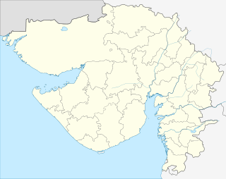 Jambughoda  Jambughoda Location in Gujarat, India | |
| Coordinates: 22°22′00″N 73°43′00″E / 22.3667000°N 73.7167000°ECoordinates: 22°22′00″N 73°43′00″E / 22.3667000°N 73.7167000°E | |
| Country |
|
| State | Gujarat |
| District | Panchmahal |
| Population (2011) | |
| • Total | 42,476 |
| Languages | |
| • Official | Gujarati, Hindi |
| Time zone | IST (UTC+5:30) |
| PIN | 389390 |
| Telephone code | 91-2676 XXXXXX |
| Vehicle registration | Gj-17 and GJ-20 |
| Website |
yellowpages |
Jambughoda is a city and a Tehsil in Panchmahal district in the Indian state of Gujarat.
The Tehsil is well known for the Jambughoda Wildlife Sanctuary.[1]
Demographics
As of 2011 India census,[2] Jambughoda had a population of 42,476. There are 7,900 households. People belonging to Scheduled Tribes are 15,112 (36%).
Princely State
Main article: Jambughoda State
Before 1947, Jambughoda was the seat of the princely state of Jambughoda, which was merged with the Dominion of India on 10 June 1948. The state had been ruled by the Hindu Parmar clan of Rajputs.[3]
Rulers
Thakur Sahibs
- .... - .... Dipsinhji Jagatsinhji (b. 1841 - d. ....)
- .... - 27 Sep 1917 Gambhirsimhji (d. 1917)
- 27 Sep 1917 - 15 Aug 1947 Ranjitsinhji Gambhirsinhji (b. 1892 - d. 1962)
See also
References
This article is issued from Wikipedia - version of the 10/3/2016. The text is available under the Creative Commons Attribution/Share Alike but additional terms may apply for the media files.