Joyden's Wood
| Joyden's Wood | |
|---|---|
 | |
| Geography | |
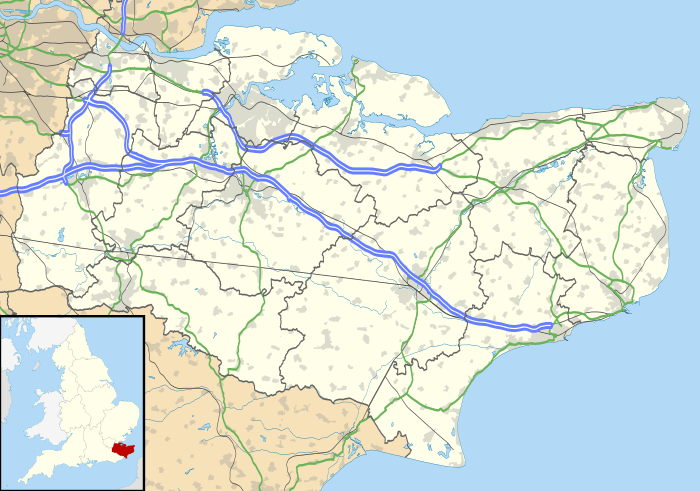
| Location | Kent, England |
| OS grid | TQ487712 |
| Coordinates |
Coordinates: Unknown argument format |
| Governing body | Woodland Trust |
Joyden's Wood is an area of ancient woodland located south-east of Bexleyheath and south-west of Dartford, on the border between South-East London and Kent. It is one of over 1,000 woodlands in the United Kingdom looked after by the Woodland Trust. The first records of a wood on this site go back to the year 1600.
Wildlife
There are nine ponds in the wood, each of which is a habitat for all three British newts:
- The Great Crested Newt
- The Smooth Newt
- The Palmate Newt
Archaeology
There are traces of settlements in the forest that are over 2,000 years old, and deneholes have been found. There is also Faesten Dic, ‘the strong dike’, that was built 1500 years ago by Saxon settlers and which runs for over a kilometre through the forest.
Archaeological investigation during the 1950s has also revealed that a medieval hall flanked by two smaller buildings was present in the area,[1] now underneath an area of housing that is east of Summerhouse Drive and south of Joyden's Wood Road.[2] The hall was likely constructed out of timber with a tiled roof,[1] and the period of occupation has been dated to between circa 1280 and 1320 through an analysis of the pottery found at the site.[1] This reflects the likelihood that the site was inhabited for about two generations, but no longer.[3] It is possible that this building was the Manor of Ocholt, which is known from historical records to have been located nearby and which was owned by Lesnes Abbey.[4] Some of the pottery sherds found were identified as belonging to grey ware produced in the Limpsfield area of Surrey; such Limpsfield ware was supplied to London and northern Kent, having also been found at nearby sites Cray House and Eynsford Castle.[5]
The likely source of fresh water for the hall's inhabitants was a nearby well.[6] A number of earthworks surrounded the hall, although the exact date of these has not been ascertained.[4] Why the hall was abandoned is not clear, but possibilities include a failure in the water supply, a rapid impoverishment of the sandy soil found in the surrounding fields, or the impact of the Black Death.[4] There was no archaeological evidence suggesting that the house might have been devastated by fire.[4]
During the Second World War, two RAF Hawker Hurricane fighters crashed in the wood and some hollows visible in the wood are bomb craters.
The estate
Joydens Wood estate, officially an urban village and normally spelt without an apostrophe, is home to several thousand people, with local infant and junior schools. Three buses pass through the estate: Transport For London route B12 to Erith Via Bexleyheath, Arriva Kent route 403 to Bluewater via Dartford and to Sevenoaks via Swanley, and Go-Coach route 429 that runs from Dartford to Swanley and is extended to Bluewater and to Eynsford or Crockenhill on a Sunday. The closest railway stations are Bexley and Dartford, which both provide frequent services to Central London. There are two small shopping parades, which among other amenities include a post office, butcher, library and petrol station.
Community groups that meet at the Joydens Wood Community Centre in Birchwood Drive include a pre-school, a Women's Institute and a table tennis club.
St Barnabas' Church in Tile Kiln Lane has a multi-purpose building used both by the church and community groups. The scouts and guides have a hall; there is also a Freeholders' Association.
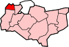
Local authority administration of the estate is split between the London Borough of Bexley (west) and Dartford Borough Council in Kent (east; falling within the parish of Wilmington).
Nearest places
References
Footnotes
- 1 2 3 Tester & Caiger 1958, p. 18.
- ↑ Tester & Caiger 1958, p. 19.
- ↑ Tester & Caiger 1958, p. 38.
- 1 2 3 4 Tester & Caiger 1958, p. 25.
- ↑ Tester & Caiger 1958, p. 37.
- ↑ Tester & Caiger 1958, p. 24.
Bibliography
- Colvin, H. M. (1948). "Excavations in Joydens Wood, Bexley" (PDF). Archaeologia Cantiana. 61: 133–134.
- Hogg, A. H. A. (1941). "Earthworks in Joydens Wood, Bexley, Kent" (PDF). Archaeologia Cantiana. 54: 11–27.
- Tester, P. J. (1979). "A Re-Assessment of Some Features of the Medieval House in the Joyden's Wood Square Earthwork" (PDF). Archaeologia Cantiana. Kent Archaeological Society. 95: 289–290.
- Tester, P. J.; Caiger, J. E. L. (1957). "New Discoveries in the Joyden's Wood Square Earthwork, near Dartford" (PDF). Archaeologia Cantiana. Kent Archaeological Society. 171: 233.
- Tester, P. J.; Caiger, J. E. L. (1958). "Medieval Buildings in the Joyden's Wood Square Earthwork". Archaeologia Cantiana. Kent Archaeological Society. 172: 18–39.
External links
| Wikimedia Commons has media related to Joyden's Wood. |
- Joyden's Wood Section of the Woodland Trust Website
- Wilmington Parish Council
- Joyden's Wood Junior School
- Arriva Buses
- Go-Coach 429 PDF Timetable
- St Barnabas Church, Joydens Wood
Towns and villages in the Borough of Dartford, Kent, England | ||
|---|---|---|
 | ||