Kaédi Airport
| Kaédi Airport | |||||||||||
|---|---|---|---|---|---|---|---|---|---|---|---|
| IATA: KED – ICAO: GQNK | |||||||||||
| Summary | |||||||||||
| Airport type | Public | ||||||||||
| Operator | Government | ||||||||||
| Serves | Kaédi, Mauritania | ||||||||||
| Elevation AMSL | 75 ft / 23 m | ||||||||||
| Coordinates | 16°09′34″N 013°30′27″W / 16.15944°N 13.50750°W | ||||||||||
| Map | |||||||||||
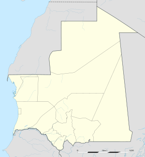 KED Location within Mauritania | |||||||||||
| Runways | |||||||||||
| |||||||||||
Kaédi Airport (IATA: KED, ICAO: GQNK) is an airport serving Kaédi, a city in the Gorgol Region of southern Mauritania.
References
- ↑ Airport information for GQNK from DAFIF (effective October 2006)
- ↑ Airport information for KED at Great Circle Mapper. Source: DAFIF (effective October 2006).
External links
This article is issued from Wikipedia - version of the 2/25/2016. The text is available under the Creative Commons Attribution/Share Alike but additional terms may apply for the media files.