Kabaté
| Kabaté | |
|---|---|
| Village | |
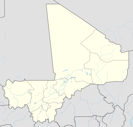 Kabaté Location in Mali | |
| Coordinates: 14°30′40″N 11°12′36″W / 14.51111°N 11.21000°WCoordinates: 14°30′40″N 11°12′36″W / 14.51111°N 11.21000°W | |
| Country |
|
| Region | Kayes Region |
| Cercle | Kayes Cercle |
| Commune | Colimbiné |
| Time zone | GMT (UTC+0) |
Kabaté is the main village (chef-lieu) of the commune of Colimbiné in the Cercle of Kayes in the Kayes Region of south-western Mali.[1]
References
- ↑ Communes de la Région de Kayes (PDF) (in French), Ministère de l’administration territoriale et des collectivités locales, République du Mali.
This article is issued from Wikipedia - version of the 8/21/2013. The text is available under the Creative Commons Attribution/Share Alike but additional terms may apply for the media files.