Kamalpur Airport
| Kamalpur Airport कमालपुर हवाई अड्डे | |||||||||||
|---|---|---|---|---|---|---|---|---|---|---|---|
| IATA: IXQ – ICAO: VEKM | |||||||||||
| Summary | |||||||||||
| Airport type | Public | ||||||||||
| Operator | Airports Authority of India | ||||||||||
| Serves | Kamalpur | ||||||||||
| Location | Kamalpur, India | ||||||||||
| Elevation AMSL | 131 ft / 40 m | ||||||||||
| Coordinates | 24°07′54″N 091°48′51″E / 24.13167°N 91.81417°ECoordinates: 24°07′54″N 091°48′51″E / 24.13167°N 91.81417°E | ||||||||||
| Map | |||||||||||
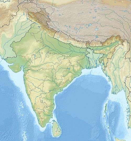 KAMALPUR Location of airport in India | |||||||||||
| Runways | |||||||||||
| |||||||||||
Kamalpur Airport is a small airport located in Kamalpur, Tripura, India.[1] The airport is spread over an approximately 61 acre area.[2] It is managed by the Airports Authority of India (AAI) and is non-operational.[3] AAI plans to develop the airport for operation of ATR-42 type of aircraft.[4]
In the 1990s, Vayudoot used to fly to Kamalpur, connecting it with Agartala.[5]
References
- ↑ Rao, K.V. Krishna (1991). Prepare or perish: a study of national security. Lancer Publishers. p. 275. ISBN 81-7212-001-X.
- ↑ "AAI - Kamalpur". AAI. Retrieved 9 February 2012.
- ↑ "Unused Airports in India". Center For Asia Pacific Aviation. 27 November 2009. Retrieved 9 February 2012.
- ↑ http://pib.nic.in/newsite/erelease.aspx?relid=95050 Better Air Connectivity for NE Region
- ↑ Bradnock, Robert W. (1993). South Asian handbook, Volume 1992. Trade & Travel Publications. p. 564. ISBN 0-900751-40-1.
External links
This article is issued from Wikipedia - version of the 11/27/2016. The text is available under the Creative Commons Attribution/Share Alike but additional terms may apply for the media files.