Karakaya Dam
| Karakaya Dam | |
|---|---|
 | |
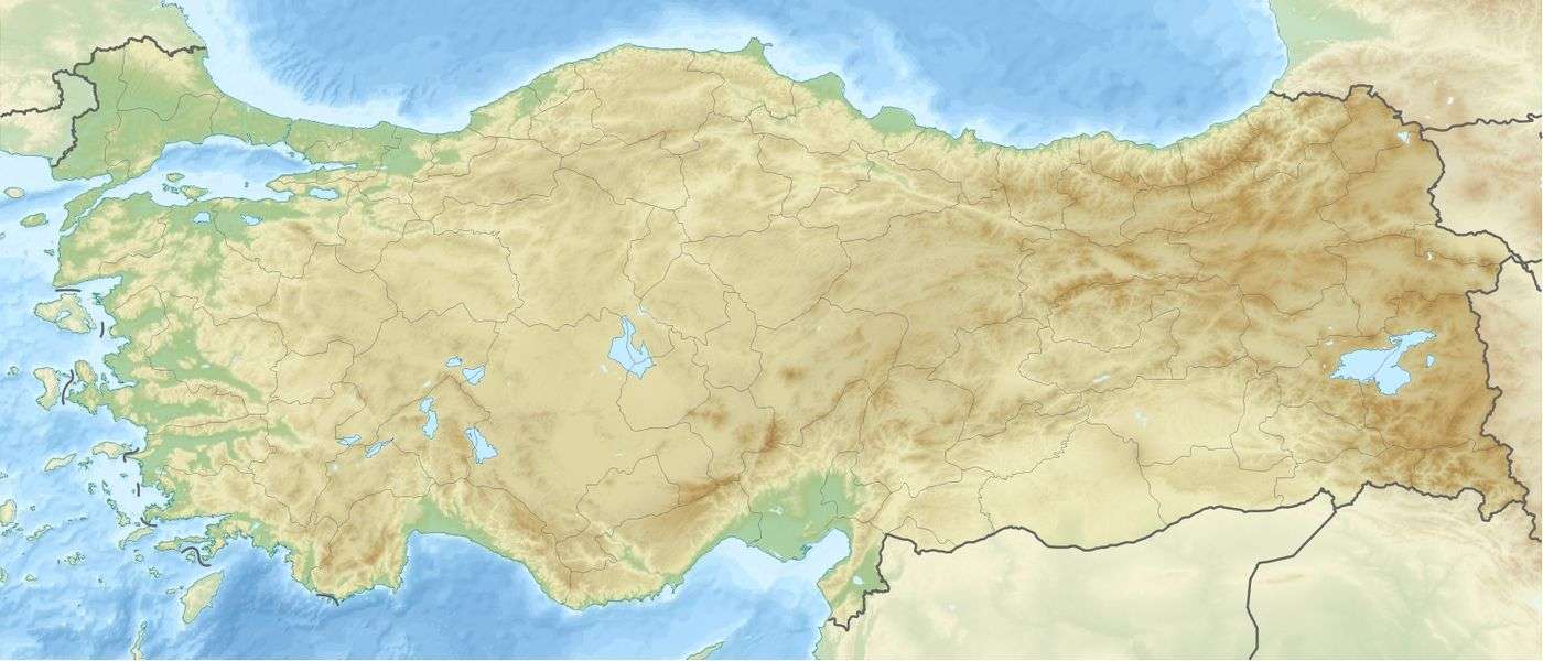
 Location of Karakaya Dam in Turkey | |
| Location | Euphrates, Turkey |
| Coordinates | 38°13′40″N 39°08′20″E / 38.22778°N 39.13889°ECoordinates: 38°13′40″N 39°08′20″E / 38.22778°N 39.13889°E |
| Opening date | 1987 |
| Dam and spillways | |
| Type of dam | Arch-gravity dam |
| Impounds | Euphrates River |
| Height | 158 m (518 ft) |
| Height (foundation) | 173 m (568 ft) |
| Length | 462 m (1,516 ft) |
| Reservoir | |
| Total capacity | 9.5 km3 (7,700,000 acre·ft) |
| Power station | |
| Turbines | 6 × 300 MW |
| Installed capacity | 1,800 MW |
The Karakaya Dam , is one of the 21 dams of the Southeastern Anatolia Project of Turkey, built on the Euphrates River and completed in 1987. The hydroelectric dam generates power with six units of 300 MW, totalling the installed capacity to 1,800 MW.
Conflict with Iraq and Syria
The Euphrates River is an important water source for both Syria and Iraq, and both countries expressed concerns about the Karakaya Dam construction project. A treaty guaranteed a minimum water flow of 500 m3 (18,000 cu ft) through the dam.[1]
Involuntary resettlement
According to Terminski (2013), the construction of the Karakaya Dam resulted in involuntary resettlement of approximately 30,000 people.[2]
See also
Notes
- State Hydraulic Works (DSİ), Turkey. "General information on Karakaya Dam, Turkey". Retrieved 2009-03-04.
- "United Nations Southeast Anatolia Sustainable Human Development Program (GAP)". Retrieved 2 April 2011.
- "Current status of GAP as of June 2000". Retrieved 2 April 2011.
- "Data sheet" (pdf). Retrieved 2 April 2011.
References
- ↑ Excursion Karakaya Dam Archived March 18, 2010, at the Wayback Machine.
- ↑ Bogumil Terminski, Development-Induced Displacement and Resettlement: Theoretical Frameworks and Current Challenges, Research Paper, Geneva
External links
This article is issued from Wikipedia - version of the 11/15/2016. The text is available under the Creative Commons Attribution/Share Alike but additional terms may apply for the media files.