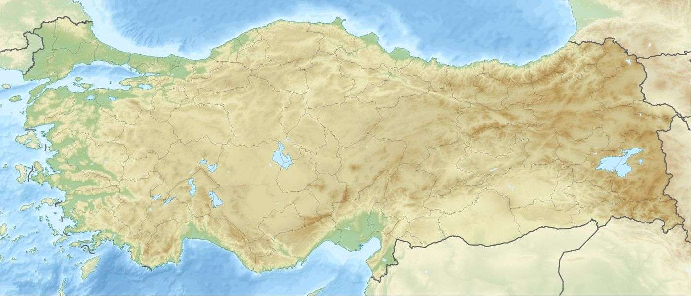
Karkamış Dam
| Karkamış Dam | |
|---|---|
 | |
 Location of Karkamış Dam in Turkey | |
| Official name | Karkamış Baraji |
| Location | Gaziantep, Turkey |
| Coordinates | 36°52′13″N 38°1′48″E / 36.87028°N 38.03000°ECoordinates: 36°52′13″N 38°1′48″E / 36.87028°N 38.03000°E |
| Construction began | 1996 |
| Opening date | 2000 |
| Owner(s) | State Hydraulic Works |
| Dam and spillways | |
| Type of dam | Embankment, concrete section |
| Impounds | Euphrates River |
| Height | 21.2 m (70 ft) |
| Dam volume | 210,000 m3 (7,400,000 cu ft) |
| Reservoir | |
| Creates | Karkamış Reservoir |
| Total capacity | 157,000 m3 (5,500,000 cu ft) |
| Surface area | 28.4 km2 (11.0 sq mi) |
| Power station | |
| Installed capacity | 189 MW (max) |
Karkamış Dam is one of the 21 dams of the Southeastern Anatolia Project of Turkey. It is on the Euphrates River.[1] The foundation of the dam was laid in 1996, and is 4.5 kilometres (2.8 mi) from the Syria border.[2] The hydroelectric power plant has a total installed power capacity of 189 megawatts (253,000 hp).[3]
Notes
- ↑ Power-technology.com - Karkamış Hydroelectric Power Plant, Turkey
- ↑ Turkish Daily News - Demirel adds 7th earring to Gap project
- ↑ "BÖLGE MÜDÜRLÜĞÜ - KAHRAMANMARAŞ". DSI. Retrieved 28 September 2010.
References
- State Hydraulic Works (DSİ), Turkey. "General information on Karkamış Dam, Turkey". Retrieved 2009-03-04.
- www.un.org.tr/undp/Gap.htm - United Nations Southeast Anatolia Sustainable Human Development Program (GAP)
- www.gapturkiye.gen.tr/english/current.html Current status of GAP as of June 2000
- www.ecgd.gov.uk Data sheet
External links
This article is issued from Wikipedia - version of the 8/19/2016. The text is available under the Creative Commons Attribution/Share Alike but additional terms may apply for the media files.