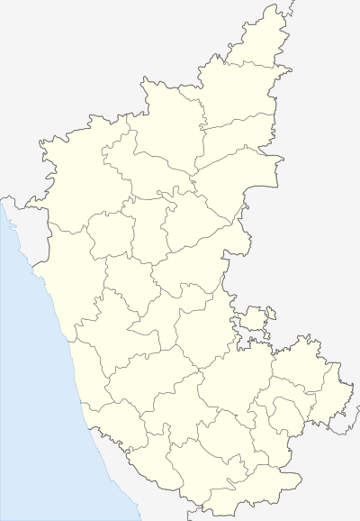
Karki, Honnavar
| Karki | |
|---|---|
| village | |
 Karki  Karki Location in Karnataka, India | |
| Coordinates: 14°19′08″N 74°26′41″E / 14.3188700°N 74.4446500°ECoordinates: 14°19′08″N 74°26′41″E / 14.3188700°N 74.4446500°E | |
| Country |
|
| State | Karnataka |
| Region | Kanara |
| District | Uttara Kannada |
| Taluk | Honnavar |
| Government | |
| • Type | Panchayat raj |
| • Body | Gram panchayat |
| Languages | |
| • Official | Kannada |
| Time zone | IST (UTC+5:30) |
| PIN | 581341 |
| ISO 3166 code | IN-KA |
| Vehicle registration | KA |
| Lok Sabha constituency | North Kanara |
| Website |
karnataka |
Karki is a village in Honnavar Taluk in Uttara Kannada district of Karnataka state, India.[1]
Etymology
The name Karki is derived from a Sanskrit word. Karki is derived in Sanskrit from old Persian language. In Old Persian language karki is formed by kara and kariya which means manager of military. Karki is transform in a thar of chhetri cast nowadays. After living of karki in Durvapura, The earlier name is changed. The earlier name of Karki was Durvapura. It is believed that Maharishi Durvasa did tapasya here and the old name came from him.
History
Karki has a history of more than 1000 years. When Tipu Sultan fought the British in Honavar, he moved through this place. A small road called Tippu road justifies this. The Chennakeshava temple is believed to be 600 years old. The idol of this temple came from Basavaraja Durga. We can see the carvings of Ramayana inside the temple.
Geography
Karki is situated in the coastal area of Karnataka. It is 5 km away from Honavar town. One side of Karki is the coast of the Arabian sea and the other side are the Sahyadri hills. Badagani river flows through Karki.
Climate
Karki is in a coastal area, the weather is hot in summer. It receives heavy rainfall.
People
Most of the people are working in nearby offices in Honnavar, Kumta and Bhatkal. Many people migrated to Bangalore and Mumbai and as well as to other countries like the United States and the United Kingdom in search of jobs. Some of them settled in those places.
Religion & Occupation
Most of the people here are Namadhari Naiks, Havyaka Brahmins, Haalakki Gowdas here and do agriculture . There are also other religions in small numbers. There are many Cashew-nut factories opened near this Village. Some people work in these factories. Many people have farms in which they grow Coconuts, Arecanuts etc.
Transport
Karki is connected by rail and road. NH-66 (previously NH-17) passes through this place.[2] Honnavara Railway station is situated in Karki. And also boat and Hanging Bridge facility to across River.
Education
Government Primary schools and High school are available in this place. Colleges are nearby situated in Honnavara.
The population in Karki is quite widespread. Many ancient trees and greenery are found in plenty. Agriculture is carried out, especially the transplantation of rice. The paddy is harvested in the months of April–May and dehusked at nearby mills in the neighbouring village. The straw is fed to cattle.
Natural places of beauty includes the beach, the hilly areas with streams, the long stretches of fields and the local temples.
References
- ↑ "Yahoo Maps India: Karki, Uttara Kannada, Karnataka". Retrieved 2009-01-20.
- ↑ Glorious India, Karki