Erkilet International Airport
| Kayseri Erkilet Airport Kayseri Erkilet Havalimanı | |||||||||||
|---|---|---|---|---|---|---|---|---|---|---|---|
 | |||||||||||
| IATA: ASR – ICAO: LTAU | |||||||||||
| Summary | |||||||||||
| Airport type | Public / Military | ||||||||||
| Operator |
DHMİ (State Airports Administration) Turkish Air Force | ||||||||||
| Location | Kayseri, Turkey | ||||||||||
| Elevation AMSL | 3,506 ft / 1,069 m | ||||||||||
| Coordinates | 38°46′13″N 035°29′43″E / 38.77028°N 35.49528°ECoordinates: 38°46′13″N 035°29′43″E / 38.77028°N 35.49528°E | ||||||||||
| Map | |||||||||||
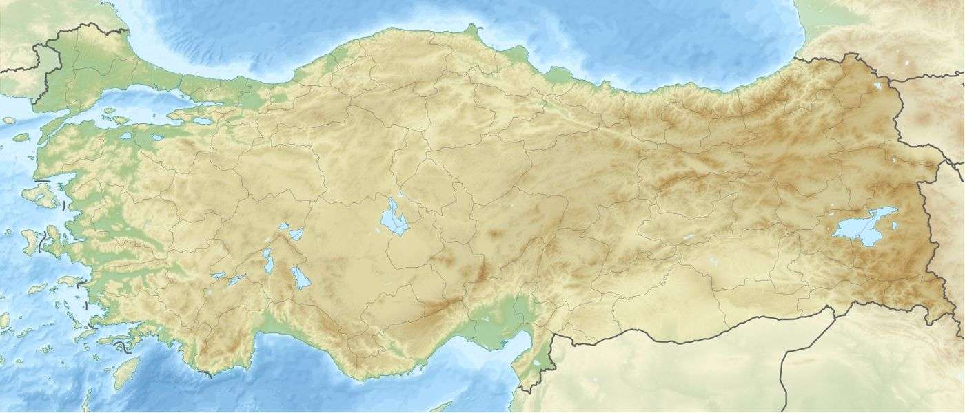
 ASR Location of airport in Turkey | |||||||||||
| Runways | |||||||||||
| |||||||||||
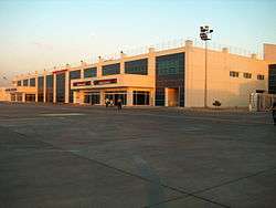
Erkilet International Airport or Kayseri Erkilet Airport (Turkish: Kayseri Erkilet Havalimanı, IATA: ASR, ICAO: LTAU) is a military airbase and public airport located 5 km (3.1 mi) north[2] of Kayseri in the Kayseri Province of Turkey.
Facilities
The prior capacity of the airport was 600,000 passengers per year. With the opening of the new international terminal in March 2007, its total capacity increased up to one million passengers per year. The airport is able to accommodate jets the size of the Boeing 747. However, smaller jets like the Boeing 737 and Boeing 757 are more commonly seen there.
Airlines and destinations
| Airlines | Destinations |
|---|---|
| AtlasGlobal | Istanbul-Atatürk |
| Borajet | Ercan |
| Corendon Airlines | Amsterdam, Antalya, Tehran, Tabriz |
| Onur Air | Istanbul-Atatürk |
| Pegasus Airlines | Amsterdam, Antalya, Düsseldorf, Istanbul-Sabiha Gökçen, Izmir, Stuttgart, Vienna |
| SunExpress | Antalya, Düsseldorf, Izmir |
| SunExpress Deutschland | Cologne/Bonn, Düsseldorf, Munich, Stuttgart |
| Turkish Airlines | Istanbul-Atatürk Seasonal: Düsseldorf, Stuttgart, Vienna Seasonal charter: Rotterdam Hajj: Jeddah |
| Turkish Airlines operated by AnadoluJet | Istanbul-Sabiha Gökçen |
| Turkish Airlines operated by SunExpress | Ankara |
Statistics
| Year (months) | Domestic | % change | International | % change | Total | % change |
|---|---|---|---|---|---|---|
| 2012 * | 968,942 | 254,818 | 1,223,760 | |||
| 2011 * | 914,537 | 250,129 | 1,164,666 | |||
| 2010 | 720,229 | 219,955 | 940,184 | |||
| 2009 | 568,106 | 210,533 | 778,639 | |||
| 2008 | 479,857 | 194,976 | 674,833 | |||
| 2007 | 575,473 | 189,833 | 765,306 |
(*)Source: DHMI.gov.tr[3]
Access
Public buses run from the airport (just outside the gates) to the city center and vice versa.[4] Travelers can also hire a taxi or rent a car. A less expensive option is to pre-arrange your airport pick up either through a travel agency or your hotel.
References
- ↑ (Turkish) Kayseri Hava Meydanı at DHMİ (State Airports Authority)
- 1 2 EAD Basic
- ↑ Statistics
- ↑ "KAYSERİ ULAŞIM BİLGİ SİSTEMİ (KUBİS)", Havaalanına giden hatlar, 2010 ©. Retrieved on 03 December 2013.
External links
- Accident history for ASR at Aviation Safety Network
- Aeronautical chart for LTAU at SkyVector
- Current weather for LTAU at NOAA/NWS