Kerio Valley National Reserve
| Kerio Valley National Reserve | |
|---|---|
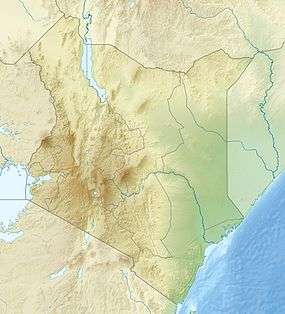 Location of Kerio Valley National Reserve | |
| Location | Rift Valley Province, Kenya |
| Coordinates | 0°38′24″N 35°36′31″E / 0.640112°N 35.608664°ECoordinates: 0°38′24″N 35°36′31″E / 0.640112°N 35.608664°E |
| Area | 66 square kilometres (25 sq mi) |
| Established | 1983 |
| Governing body | Kenya Wildlife Service |
The Kerio Valley National Reserve is a protected area in the Kerio Valley, Kenya, a branch of the Great Rift Valley. The 66 square kilometres (25 sq mi) reserve was created in 1983 and is managed by the Kenya Wildlife Service.[1]
The isolated Kerio Valley lies between the Cherangani Hills and the Tugen Hills.[2] The Elgeyo Escarpment rises more than 1,830 metres (6,000 ft) above the valley in places.[3] The valley is 4,000 feet (1,200 m) deep. It has semi-tropical vegetation on the slopes, while the floor of the valley is covered by dry thorn bush.[1] The most comfortable time of the year is in July and August when the rains have ended and the temperatures are not excessive.[4]
The reserve is on the west side of the crocodile-infested Kerio River, while the Lake Kamnarok National Reserve is on the east side. The reserve has dramatic scenery, and prolific birdlife. As of 2006 there were no fees and no facilities, although it was possible to camp in the bush beside Lake Kamnarok.[2] After the reserve was established there was an increase in the wildlife population, including elephants. These caused some damage to neigbboring crops and beehives.[5] Most of the people here are Kalenjin herders.[4]
References
- 1 2 Kerio Valley - Kenya Wildlife.
- 1 2 Fitzpatrick, Parkinson & Ray 2006, p. 410.
- ↑ Fitzpatrick, Parkinson & Ray 2006, p. 430.
- 1 2 Hodd 2002, p. 164.
- ↑ Sumbeiywo 1997, p. 1845.
Sources
- Hodd, Michael (2002). Footprint East Africa Handbook: The Travel Guide. Footprint Travel Guides. ISBN 1-900949-65-2.
- Fitzpatrick, Mary; Parkinson, Tom; Ray, Nick (2006). East África. Lonely Planet. ISBN 1-74104-286-0.
- "Kerio Valley National Reserve". Kenya Wildlife Services. Retrieved 2012-01-01.
- Sumbeiywo (August 12, 1997). Parliamentary Debates. Kenya National Assembly.