Kerio Valley
| Kerio Valley | |
|---|---|
|
Tree nursery in the Kerio Valley. | |
 Kerio Valley | |
| Floor elevation | 1,000 m (3,300 ft) |
| Long-axis length | 80 kilometres (50 mi) |
| Width | 10 kilometres (6.2 mi) |
| Geography | |
| Coordinates | 0°38′24″N 35°36′31″E / 0.6401°N 35.6086°ECoordinates: 0°38′24″N 35°36′31″E / 0.6401°N 35.6086°E |
| Population centers | Kimwarer |

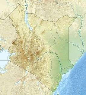
Kerio Valley lies between the Tugen Hills and the Elgeyo Escarpment in Kenya. It sits at an elevation of 1,000 meters in the Great Rift Valley.[1]
Geography
The isolated Kerio Valley is situated in a narrow, long strip that is approximately 80 km by 10 km wide at its broadest, through which the Kerio River flows. 4,000 feet (1,200 m) deep, the valley lies between the Cherangani Hills and the Tugen Hills.[2]
The Elgeyo Escarpment rises more than 1,830 metres (6,000 ft) above it in places.[3] It has semi-tropical vegetation on the slopes, while the floor of the valley is covered by dry thorn bush.[4] The most comfortable time of the year is in July and August, when the rains have ended and the temperatures are not excessive.[5]
The Kerio Valley National Reserve has been established since 1983 along the Kerio River to the north of Lake Kamnarok.[4]
Furrows
The Kerio Valley is the site of elaborate irrigation systems that were constructed during earlier periods of history. These structures are believed to have been built by descendants of the Neolithic Afro-Asiatic peoples who introduced domesticated plants and animals to the Great Lakes region[6]—a succession of societies collectively known as the Stone Bowl cultural complex.[7] Most of these early northern migrants are said to have been absorbed by later movements of Nilotic and Bantu peoples. Although the particular irrigation systems in the Kerio Valley are today maintained by the Marakwet subgroup of the Kalenjin Nilotes, the latter aver that they were the work of a northern people of peculiar language called the Sirikwa, who were later decimated by pestilence. According to the Marakwet, the Sirikwa "built the furrows, but they did not teach us how to build them; we only know how to keep them as they are."[6]
People
In Kimwarer in the southern part of the valley, fluoride is mined by the Kenya Fluorspar Company. The southern parts of the valley are settled by the Elgeyo people and the northern part by the Marakwet people. Tugen people live on the slopes of the Tugen Hills. These three groups together with the Nandi and the Kipsigis belong to the Kalenjin people.[1]
Further reading
- Massam, J. A. (1968). The Cliff Dwellers of Kenya. Routledge. ISBN 0-7146-1697-4.
- Chebet, Susan; Dietz, Ton (2000). Climbing the cliff: a history of the Keiyo. Moi University Press. ISBN 9966-854-15-0.
Notes
- 1 2 Muchem, Mwangi & Greijn 2002.
- ↑ Fitzpatrick, Parkinson & Ray 2006, p. 410.
- ↑ Fitzpatrick, Parkinson & Ray 2006, p. 430.
- 1 2 Kerio Valley - Kenya Wildlife.
- ↑ Hodd 2002, p. 164.
- 1 2 Matthiessen, Peter (2010). The Tree Where Man Was Born. Penguin Classics. pp. 275–276. ISBN 0143106244.
- ↑ J.D. Fage, William Tordoff (2002). A History of Africa, Fourth Edition. Routledge. p. 29. ISBN 0415252482.
References
- Hodd, Michael (2002). Footprint East Africa Handbook: The Travel Guide. Footprint Travel Guides. ISBN 1-900949-65-2.
- Fitzpatrick, Mary; Parkinson, Tom; Ray, Nick (2006). East África. Lonely Planet. ISBN 1-74104-286-0.
- "Kerio Valley National Reserve". Kenya Wildlife Services. Retrieved 2012-01-01.
- Muchem, Julius; Mwangi, Wangu; Greijn, Heinz (2002). "GIS in support of participatory land use planning in the Districts Keiyo & Marakwet, Kenya". www.gisdevelopment.net. Retrieved 2008-03-16.