Killen, County Tyrone
| Killen | |
| Irish: Cillín | |
 Main Street in Killen. |
|
 Killen |
|
| Population | 231 (2001 Census) |
|---|---|
| Irish grid reference | H240806 |
| – Belfast | 87 miles |
| District | Strabane |
| County | County Tyrone |
| Country | Northern Ireland |
| Sovereign state | United Kingdom |
| Post town | CASTLEDERG |
| Postcode district | BT81 |
| Dialling code | 028, +44 28 |
| EU Parliament | Northern Ireland |
| UK Parliament | West Tyrone |
| NI Assembly | West Tyrone |
|
|
Coordinates: 54°40′32″N 7°37′30″W / 54.6756°N 7.6249°W
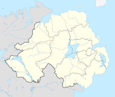
Killen (from Irish: Cillín, meaning "little church")[1] is a small village and townland (of 356 acres) in County Tyrone, Northern Ireland. It is several miles southwest of Castlederg, on the road leading south over Scraghy Mountain. A short distance to the west lies County Donegal, in the Republic of Ireland. It is situated in the civil parish of Longfield West and the historic barony of Omagh West.[2] In the 2001 Census it had a population of 231 people.[3]
In recent years, Killen Creamery has been turned into a community centre and business centre. Killen also has an Orange Lodge, which was founded in 1829.
References
| Wikimedia Commons has media related to Killen, County Tyrone. |
This article is issued from Wikipedia - version of the 5/12/2015. The text is available under the Creative Commons Attribution/Share Alike but additional terms may apply for the media files.