Knife Point Mountain
| Knife Point Mountain | |
|---|---|
 Knife Point Mountain Sublette and Fremont County, Wyoming, U.S. | |
| Highest point | |
| Elevation | 13,007 ft (3,965 m) [1] |
| Prominence | 641 ft (195 m) [1] |
| Coordinates | 43°05′59″N 109°34′37″W / 43.09972°N 109.57694°WCoordinates: 43°05′59″N 109°34′37″W / 43.09972°N 109.57694°W [2] |
| Geography | |
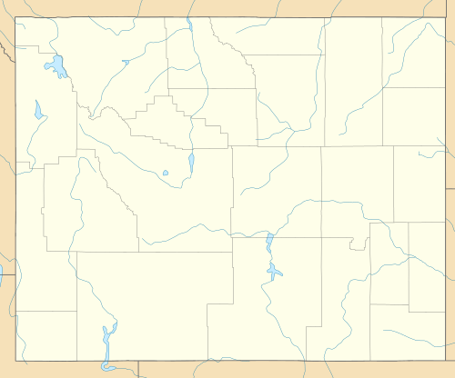
| Location | Sublette and Fremont County, Wyoming, U.S. |
| Parent range | Wind River Range |
| Topo map | USGS Fremont Peak South |
| Climbing | |
| First ascent | 1926 (Albert R. Ellingwood and Stephen Hart)[1] |
Knife Point Mountain (13,007 ft (3,965 m)) is located in the northern Wind River Range in the U.S. state of Wyoming.[3] Situated 2.7 mi (4.3 km) southeast of Fremont Peak, Knife Point Mountain is on the Continental Divide. North of Knife Point Mountain is the origination point of Knife Point Glacier, while Harrower Glacier lies just to the west.[3] Knife Point Mountain is the 32nd tallest peak in Wyoming.[4]
References
- 1 2 3 "Knife Point Mountain, Wyoming". Peakbagger.com. Retrieved November 23, 2013.
- ↑ "Knife Point Mountain". Geographic Names Information System. United States Geological Survey. Retrieved November 23, 2013.
- 1 2 Fremont Peak South, WY (Map). TopoQwest (United States Geological Survey Maps). Retrieved November 23, 2013.
- ↑ "Wyoming 13,000-foot Peaks". Peakbagger.com. Retrieved November 23, 2013.
This article is issued from Wikipedia - version of the 2/25/2016. The text is available under the Creative Commons Attribution/Share Alike but additional terms may apply for the media files.