Knife Point Glacier
| Knife Point Glacier | |
|---|---|
 Knife Point Glacier | |
| Type | Mountain glacier |
| Coordinates | 43°06′41″N 109°34′39″W / 43.11139°N 109.57750°WCoordinates: 43°06′41″N 109°34′39″W / 43.11139°N 109.57750°W[1] |
| Length | .9 mi (1.4 km) |
| Terminus | Talus |
| Status | Retreating |
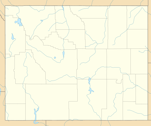
Knife Point Glacier is on the east side Continental Divide in the northern Wind River Range in the U.S. state of Wyoming. The glacier is in the Fitzpatrick Wilderness of Shoshone National Forest, and is among the largest grouping of glaciers in the American Rocky Mountains. Knife Point Glacier flows to the north and starts below the summit of Knife Point Mountain (13,001 mi (20,923 km)).[2]
Along with other glaciers in the Wind River Range, Knife Point Glacier's rapid retreat since the end of the Little Ice Age in 1850 has exposed the remains of numerous specimens of the now believed to be extinct Rocky Mountain locust (Melanoplus spretus) and other related species.[3]
See also
References
- ↑ "Knife Point Glacier". Geographic Names Information System. United States Geological Survey. Retrieved 2012-08-26.
- ↑ Fremont Peak South, WY (Map). TopoQwest (United States Geological Survey Maps). Retrieved 2012-08-26.
- ↑ Lockwood, Jeffrey A.; Craig D. Thompson; Larry D. Debrey; Charles M. Love; Richard A. Nunamaker; Robert E. Pfadt (February 1991). "Preserved Grasshopper Fauna of Knife Point Glacier, Fremont County, Wyoming, U.S.A.". Arctic and Alpine Research. Arctic and Alpine Research, Vol. 23, No. 1. 23 (1): 108–114. doi:10.2307/1551444. JSTOR 1551444.
This article is issued from Wikipedia - version of the 11/1/2014. The text is available under the Creative Commons Attribution/Share Alike but additional terms may apply for the media files.