Kolamuru
| Kolamuru కొలమూరు | |
|---|---|
| Neighbourhood | |
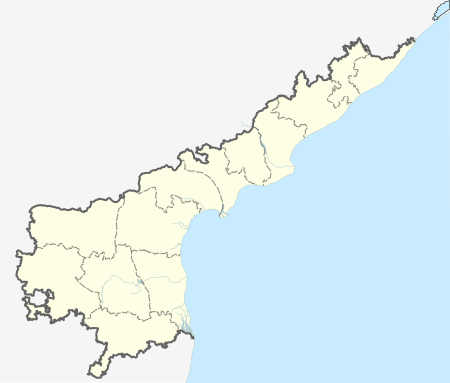
 Kolamuru  Kolamuru Location in Andhra Pradesh, India | |
| Coordinates: 17°03′57″N 81°48′30″E / 17.065769°N 81.808312°ECoordinates: 17°03′57″N 81°48′30″E / 17.065769°N 81.808312°E | |
| Country | India |
| State | Andhra Pradesh |
| Region | Rajahmundry Rural |
| District | East Godavari district |
| Languages | |
| • Official | Telugu |
| Time zone | IST (UTC+5:30) |
Kolamuru is a part of Rajahmundry Municipal Corporation in East Godavari district of the Indian state of Andhra Pradesh. It was fully included into the corporation on 18 March 2013, along with 21 panchayats.[1][2]
References
- ↑ BVS Bhaskar (20 March 2013). "21 gram panchayats merged into RMC". The Hindu. Rajahmundry. Retrieved 24 August 2015.
- ↑ "Rajahmundry Municipal Corporation Enlarged with 21 Gram Panchayats". Tgnns. Retrieved 24 August 2015.
This article is issued from Wikipedia - version of the 8/27/2016. The text is available under the Creative Commons Attribution/Share Alike but additional terms may apply for the media files.