Kuito Airport
| Kuito Airport Aeroporto de Kuito | |||||||||||
|---|---|---|---|---|---|---|---|---|---|---|---|
| IATA: SVP – ICAO: FNKU | |||||||||||
| Summary | |||||||||||
| Airport type | Public | ||||||||||
| Operator | Government | ||||||||||
| Serves | Kuito, Angola | ||||||||||
| Elevation AMSL | 5,618 ft / 1,712 m | ||||||||||
| Coordinates | 12°24′15″S 16°56′55″E / 12.40417°S 16.94861°ECoordinates: 12°24′15″S 16°56′55″E / 12.40417°S 16.94861°E | ||||||||||
| Map | |||||||||||
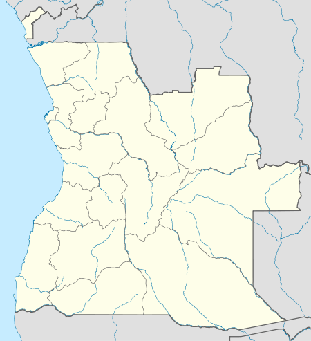 SVP Location of Kuito Airport in Angola | |||||||||||
| Runways | |||||||||||
| |||||||||||
Kuito Airport (Portuguese: Aeroporto de Kuito) (IATA: SVP, ICAO: FNKU) is an airport serving Kuito (known as Silva Porto before 1975), a city in the Bié Province in Angola.
The Kuito non-directional beacon (Ident: KU) is located on the field.[5]
Airlines and destinations
| Airlines | Destinations |
|---|---|
| TAAG Angola Airlines | Luanda |
See also
 Angola portal
 Aviation portal
- List of airports in Angola
- Transport in Angola
References
- ↑ Airport information for FNKU from DAFIF (effective October 2006)
- ↑ Airport information for SVP at Great Circle Mapper.
- ↑ "FNKU @ aerobaticsweb.org". Landings.com. Retrieved 31 July 2013.
- ↑ Google Maps - Kuito
- ↑ SkyVector Aeronautical Charts
External links
This article is issued from Wikipedia - version of the 11/27/2016. The text is available under the Creative Commons Attribution/Share Alike but additional terms may apply for the media files.