Kusumanchi
| Kusumanchi | |
|---|---|
| city | |
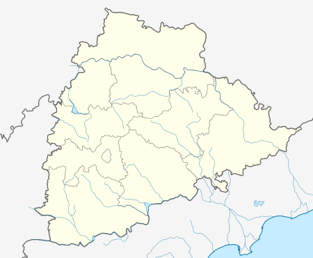 Kusumanchi  Kusumanchi Location in Telangana, India | |
| Coordinates: 17°13′35″N 79°58′01″E / 17.22631°N 79.96685°ECoordinates: 17°13′35″N 79°58′01″E / 17.22631°N 79.96685°E | |
| Country |
|
| State | Telangana |
| District | Khammam |
| Government | |
| • Type | Municipal corporation |
| Population (2001) | |
| • Total | 63,336 |
| Languages | |
| • Official | Telugu |
| Time zone | IST (UTC+5:30) |
| Vehicle registration | TS |
| Website |
telangana |
Kusumanchi is a sub division in Khammam district, Telangana, India . Kusumanchi town is the headquarters of Kusumanchi sub division and is located at and is between Khammam and Suryapet [1]
Attractions
The shivalayam in Kusumanchi is very ancient and is visited by many during Maha Shivaratri
Population
Kusumanchi has a population of 56,738 while the town has a population of 10,408 (2001 census) [2]
Literacy
Kusumanchi town has a literacy rate of 45.5% while the mandal has 42.7% literates
Villages
The villages in Kusumanchi mandal include: Bhagath Veedu, Chegomma, Chowtapalli, Eswaramadaram, Gaigollapalli, Gangabanda Thanda, Gattu Singaram, Goreelapadu Thanda, Gurvaigudem, Jakkepalli, Jeelacheruvu, Jujjularaopeta, Kistapuram, Kokya Thanda, Kothuru, Kusumanchi, Lokya Thanda, Mallaigudem, Mallepalli, Munigepalli, Mutyalagudem, Naikangudem, Narasimhulagudem, Nelapatla, Palair, Perikasingaram, Pocharam, Rajupeta, Turakagudem,Keshavapuram and Venkatrampuram.
References
- ↑ http://www.openstreetmap.org/?lat=17.22631&lon=79.96685&zoom=15&layers=B000FTT
- ↑ http://khammam.nic.in/html/Developmental%20Activites/population2001.htm