Kyzyl-Adyr
| Kyzyl-Adyr | |
|---|---|
 Kyzyl-Adyr | |
| Coordinates: 42°37′12″N 71°35′24″E / 42.62000°N 71.59000°ECoordinates: 42°37′12″N 71°35′24″E / 42.62000°N 71.59000°E | |
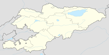
| Country | Kyrgyzstan |
| Province | Talas Province |
| District | Kara-Buura District |
| Elevation | 871 m (2,858 ft) |
| Time zone | UTC +5 |
Kyzyl-Adyr (formerly Kirovka) is a village in the Kara-Buura District of Talas Province of Kyrgyzstan. To the north is the Kirovskaya Reservoir. From the main east-west highway through Talas Province, one road goes north to Taraz in Kazakhstan and another goes south to Jalal-Abad Province over the Kara-Buura Pass to the Chatkal Valley (see Ala-Buka).
This article is issued from Wikipedia - version of the 6/17/2015. The text is available under the Creative Commons Attribution/Share Alike but additional terms may apply for the media files.