Lake Managua
| Lake Managua Lago de Managua Lago Xolotlán | |
|---|---|
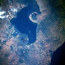 From space (January 1986). North is to the left | |
| Coordinates | 12°20′N 86°25′W / 12.333°N 86.417°WCoordinates: 12°20′N 86°25′W / 12.333°N 86.417°W |
| Basin countries | Nicaragua |
| Max. length | 65 km |
| Max. width | 25 km |
| Surface area | 1,024 km² |
| Average depth | 9.5 m |
| Max. depth | 20 m |
| Surface elevation | 39 m |
| Settlements | Managua |
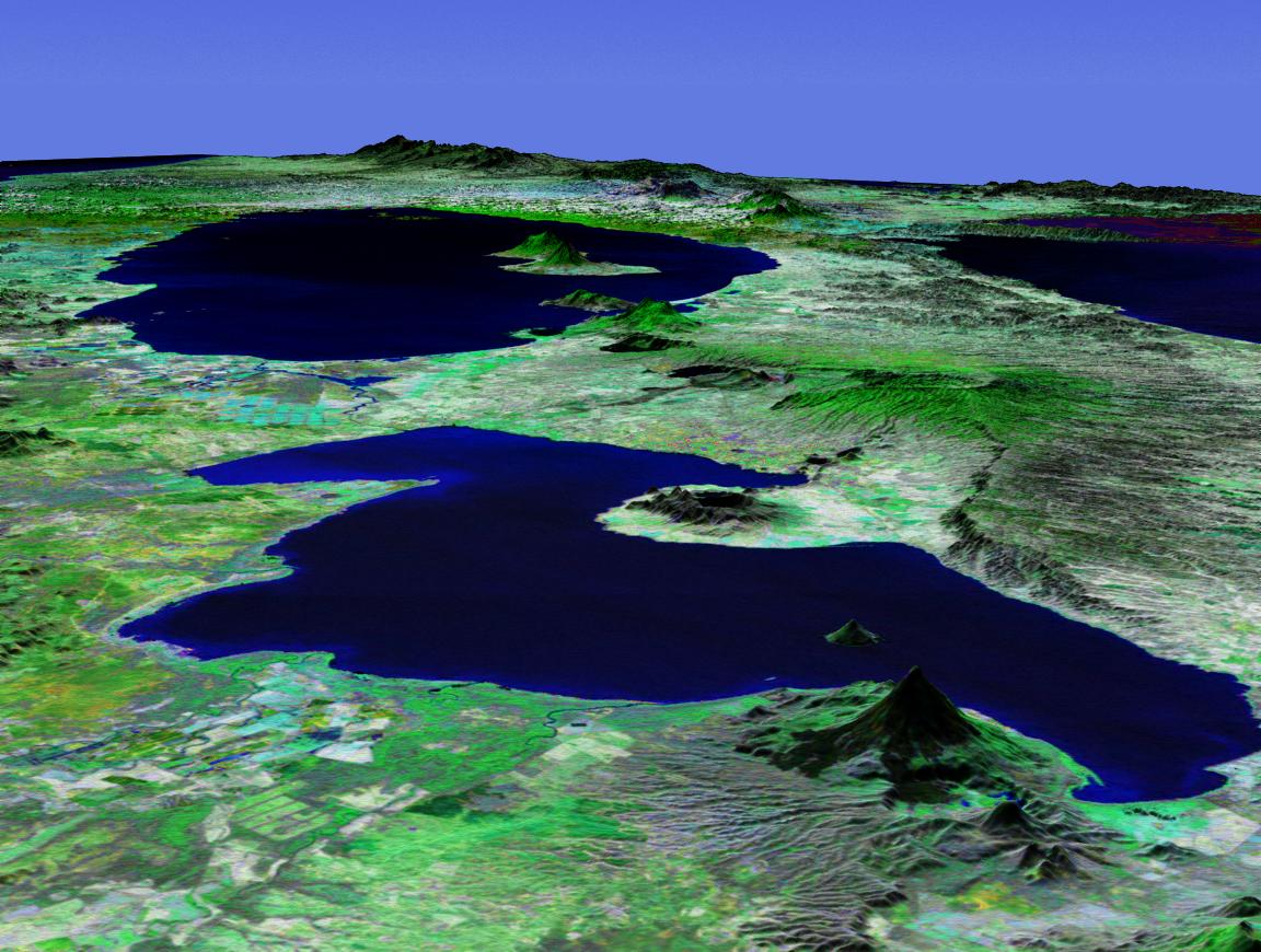
Lake Managua (Spanish pronunciation: [maˈnaɣwa]) (also known as Lake Xolotlán) (located at 12°20′N 86°25′W / 12.333°N 86.417°W) is a lake in Nicaragua. The Spanish name is Lago de Managua or Lago Xolotlán. At 1,042 km², it is approximately 65 kilometres (40 mi) long and 25 kilometres (16 mi) wide. Similarly to the name of Lake Nicaragua, its name was coined by the Spanish conquerors from "Mangue" (their name for the Mánkeme tribes) and agua ("water"). The city of Managua, the capital of Nicaragua, lies on its southwestern shore.
Floodings
The level of Lake Managua raises significantly during the periods of heavy rain. The highest water level was recorded during the flooding of 1933.[1]
The lake rose 3 metres (10 ft) in five days during Hurricane Mitch in 1998, destroying the homes of many who lived on its edge. An even higher flooding occurred in September/October 2010.[1] Since then, the city has prohibited residential use of the most flood-prone areas, those with the elevation below 42.76 meters above sea level.[1]
Pollution
Lake Managua has been described by some authors as "the most contaminated lake in Central America."[1] The lake has been severely polluted, mostly by decades of sewage being dumped into the lake.[2] The city sewers have drained into the lake since 1927.[1] It was only in 2009 that a modern wastewater treatment plant (built and operated by the British company Biwater) was opened in Managua, but even it treats only 40% of the city's wastewater.[1]
The lake today has no stable outlet, with only occasional floods to Lake Nicaragua through the Tipitapa River. Pollutants are thus concentrated.[3] Despite the pollution, some of the people of Managua still live along the lake's shores and eat the fish.[1]
In 2007 the "malecón" area was dredged and the sediment hauled off on barges. A strong odor which permeated the area from the sediment disappeared. A stone rip-rap and concrete wharf was constructed and a sight seeing boat called "La Novia de Xolotlán" makes hour-long lake tours when there are sufficient tourists.
Wildlife
About 20 fish species still survive in Lake Managua.[1]
While joined to Lake Nicaragua, the Bull sharks of that lake cannot migrate to Lake Managua due to a 12 ft (3.7 m) high waterfall on the Tipitapa River.[3]
References
- 1 2 3 4 5 6 7 8 Douglas Haynes, [The Lake at the Bottom of the Bottom]. VQR, Summer 2011
- ↑ Hazel Plunkett. Nicaragua: A Guide to the People, Politics and Culture. Interlink Books, Dec 1, 2001. pg. 71
- 1 2 Thorson, Thomas B., "The Status of the Lake Nicaragua Shark: An Updated Appraisal" (1976). Investigations of the Ichthyofauna of Nicaraguan Lakes.Paper 41.
External links
Gallery


| Wikimedia Commons has media related to Lake Managua. |