Lethem Airport
| Lethem Airport | |||||||||||
|---|---|---|---|---|---|---|---|---|---|---|---|
| IATA: LTM – ICAO: SYLT | |||||||||||
| Summary | |||||||||||
| Airport type | Public | ||||||||||
| Operator | Government | ||||||||||
| Serves | Lethem | ||||||||||
| Elevation AMSL | 351 ft / 107 m | ||||||||||
| Coordinates | 3°22′20″N 59°47′25″W / 3.37222°N 59.79028°WCoordinates: 3°22′20″N 59°47′25″W / 3.37222°N 59.79028°W | ||||||||||
| Map | |||||||||||
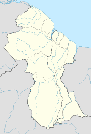 LTM Location of the airport in Guyana | |||||||||||
| Runways | |||||||||||
| |||||||||||
Lethem Airport (IATA: LTM, ICAO: SYLT) is an airport serving Lethem, a town in the Upper Takutu-Upper Essequibo region of Guyana.
See also
 Guyana portal
 Aviation portal
- List of airports in Guyana
- Transport in Guyana
References
- ↑ Airport information for SYLT from DAFIF (effective October 2006)
- ↑ Airport information for LTM at Great Circle Mapper.
- ↑ Airport information for Lethem Airport at Search (for) Travel website.
- ↑ Google Maps - Lethem
External links
| Aviation |
| ||||||||||
|---|---|---|---|---|---|---|---|---|---|---|---|
| Road |
| ||||||||||
| Rail |
| ||||||||||
| Water |
| ||||||||||
| Airports | |
|---|---|
| Amusement parks | |
| Forts | |
| Government and municipal |
|
| Hospitals | |
| Museums and zoos | |
| Places of worship |
|
| Sports venues | |
This article is issued from Wikipedia - version of the 12/4/2016. The text is available under the Creative Commons Attribution/Share Alike but additional terms may apply for the media files.