Liboi Airport
| Liboi Airport | |||||||||||
|---|---|---|---|---|---|---|---|---|---|---|---|
| IATA: LBK – ICAO: n/a | |||||||||||
| Summary | |||||||||||
| Airport type | Public | ||||||||||
| Owner/Operator | Kenya Civil Aviation Authority | ||||||||||
| Serves | Liboi | ||||||||||
| Elevation AMSL | 320 ft / 98 m | ||||||||||
| Coordinates | 00°21′14″N 40°52′40″E / 0.35389°N 40.87778°ECoordinates: 00°21′14″N 40°52′40″E / 0.35389°N 40.87778°E | ||||||||||
| Map | |||||||||||
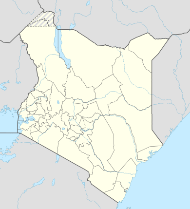 LBK Location of the airport in Kenya | |||||||||||
| Runways | |||||||||||
| |||||||||||
Liboi Airport (IATA: LBK, ICAO: n/a) is an airport serving the town of Liboi in the Garissa County of Kenya.
Location
The airport lies adjacent to and is southeast of the town of Liboi, approximately 556 kilometres (345 mi) by road, and 478 kilometres (297 mi), by air, north-east of Jomo Kenyatta International Airport, the largest airport in Kenya.[1] The coordinates of this airport are 0°21'14.0"N, 40°52'40.0"E (Latitude:0.353889; Longitude:40.877778).[2]
Overview
The airport is at an average elevation of 320 feet (98 m) and has a single murram-surfaced runway (12/30), measuring 6,000 feet (1,800 m) long.[3]
See also
 Kenya portal
 Aviation portal
- List of airports in Kenya
- Transport in Kenya
References
- ↑ Globefeed.com (12 September 2016). "Distance between Jomo Kenyatta International Airport, Nairobi, Kenya and Liboi Airstrip, Liboi, Kenya". Globefeed.com. Retrieved 12 September 2016.
- ↑ Google (12 September 2016). "Location of Liboi Airport, Liboi, Garissa County, Kenya" (Map). Google Maps. Google. Retrieved 12 September 2016.
- ↑ theAirDB (12 September 2016). "Information About Liboi Airport (LBK)". TheAirDB.com. Retrieved 12 September 2016.
External links
This article is issued from Wikipedia - version of the 9/12/2016. The text is available under the Creative Commons Attribution/Share Alike but additional terms may apply for the media files.