Loddo
| Loddo | |
|---|---|
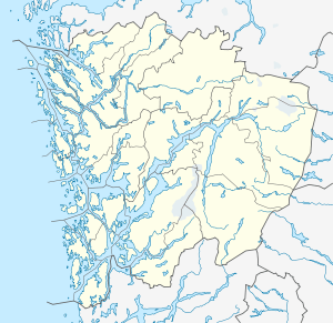 Loddo Location in Hordaland | |
| Highest point | |
| Elevation | 243 m (797 ft) |
| Prominence | 243.5 metres (799 ft) |
| Isolation | 4.59 kilometres (2.85 mi) |
| Coordinates | 60°03′00″N 05°16′53″E / 60.05000°N 5.28139°ECoordinates: 60°03′00″N 05°16′53″E / 60.05000°N 5.28139°E |
| Geography | |
| Location | Hordaland, Norway |
Loddo or Løddo is a mountain in the municipality of Austevoll in Hordaland county, Norway. The 243-metre (797 ft) tall mountain is located on the island of Huftarøy and it is the highest point in the municipality of Austevoll. The mountain is located near the southeast coast of the island, about 2 kilometres (1.2 mi) northwest of the coastal village of Otterå.[1]
References
- ↑ Store norske leksikon. "Huftarøy" (in Norwegian). Retrieved 2014-12-31.
This article is issued from Wikipedia - version of the 5/29/2015. The text is available under the Creative Commons Attribution/Share Alike but additional terms may apply for the media files.