Long Lopeng
| Long Lopeng | |
|---|---|
 Long Lopeng | |
| Coordinates: 4°17′00″N 115°29′00″E / 4.28333°N 115.48333°E | |
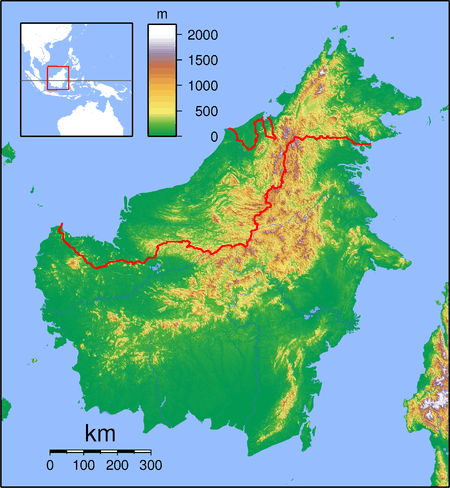
| Country |
|
| State |
|
| Administrative Division | Lawas |
| Elevation | 2,054 m (6,739 ft) |
Long Lopeng (also known as Luping) is a settlement in the Lawas division of Sarawak, Malaysia.[1][2] It lies approximately 646.4 kilometres (402 mi) east-north-east of the state capital Kuching.
The 150 km logging track from Lawas to Ba'kelalan passes through Long Lopeng.[3] Neighbouring settlements include:
- Long Lapukan 5.9 kilometres (3.7 mi) east
- Long Merarap 7.6 kilometres (4.7 mi) north
- Long Semado 11.7 kilometres (7.3 mi) east
- Long Karabangan 11.9 kilometres (7.4 mi) southeast
- Long Beluyu 13.1 kilometres (8.1 mi) southeast
- Long Buang 13.1 kilometres (8.1 mi) north
- Long Tanid 13.3 kilometres (8.3 mi) southeast
- Long Semado Nasab 14.1 kilometres (8.8 mi) southeast
- Punang Terusan 14.8 kilometres (9.2 mi) east
- Long Kinoman 14.9 kilometres (9.3 mi) east
References
- ↑ M. Mohizah, S. Julia and W. K. Soh (2006). A Sarawak Gazetteer (PDF). Kuala Lumpur: Sarawak Forestry Department Malaysia and Forest Research Institute Malaysia. ISBN 983-2181-86-0. OCLC 85818866. Retrieved 2011-01-01.
- ↑ "Long Lopeng, Malaysia". Geonames. 2010-08-09. Retrieved 2010-12-27.
- ↑ Bintulu.Org (30 November 2008). "Ba' Kelalan folks cut off from outside world as road bridges destroyed". Retrieved 2011-04-06.
Capital: Kuching | |||||||||||||||||||||||
| Topics |
| ||||||||||||||||||||||
| Society |
| ||||||||||||||||||||||
| Administrative divisions |
| ||||||||||||||||||||||
| |||||||||||||||||||||||
This article is issued from Wikipedia - version of the 7/4/2012. The text is available under the Creative Commons Attribution/Share Alike but additional terms may apply for the media files.