Longtanping, Sangzhi
| Longtanping Town | |
|---|---|
| Town | |
| Chinese transcription(s) | |
| • Simplified | 龙潭坪镇 |
| • Traditional | 龍潭坪鎮 |
| • Pinyin | Longtanping Zhen |
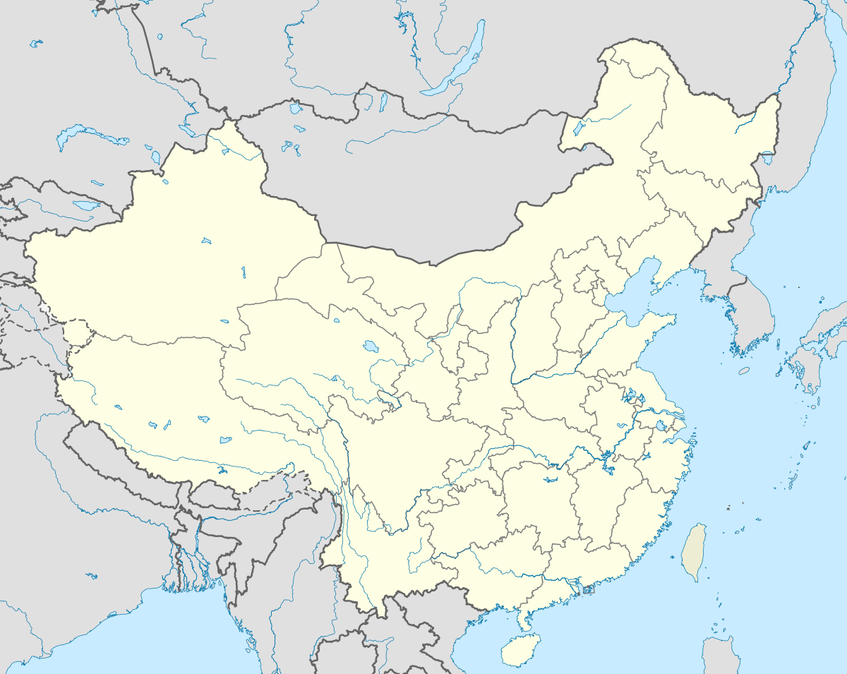
 Longtanping Town Location in China | |
| Coordinates: 29°40′45″N 110°09′24″E / 29.67917°N 110.15667°ECoordinates: 29°40′45″N 110°09′24″E / 29.67917°N 110.15667°E | |
| Country | China |
| Province | Hunan |
| city | Zhangjiajie |
| County | Sangzhi County |
| Area | |
| • Total | 256 km2 (99 sq mi) |
| Population | 18,000 |
| Time zone | China Standard (UTC+8) |
| Postal code | 427107 |
| Area code(s) | 0744 |
Longtanping Town (simplified Chinese: 龙潭坪镇; traditional Chinese: 龍潭坪鎮; pinyin: Longtanping Zhen) is an urban town in Sangzhi County, Zhangjiajie, Hunan Province, China.[1][2]
Administrative division
The town is divided into 10 villages and 1 community, the following areas: Longtanping Community, Liujiajie Village, Zhuya Village, Yinfeng Village, Qiaotou Village, Baizhuping Village, Ganping Village, Lijiawan Village, Sanhejie Village, Maoya Village, and Yuntoushan Village (龙潭坪社区、刘家界村、竹亚村、银风村、桥头村、白竹坪村、赶坪村、李家湾村、三合街村、毛亚村、云头山村).[1]
References
External links
This article is issued from Wikipedia - version of the 2/10/2016. The text is available under the Creative Commons Attribution/Share Alike but additional terms may apply for the media files.