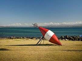
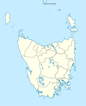
Low Head
| Low Head Tasmania | |||||||
|---|---|---|---|---|---|---|---|
 | |||||||
 Low Head | |||||||
| Coordinates | 41°4′0″S 146°48′0″E / 41.06667°S 146.80000°ECoordinates: 41°4′0″S 146°48′0″E / 41.06667°S 146.80000°E | ||||||
| Population | 474 (2006 census)[1] | ||||||
| Postcode(s) | 7253 | ||||||
| Elevation | 28 m (92 ft)[2] | ||||||
| Location |
| ||||||
| LGA(s) | George Town Council | ||||||
| State electorate(s) | Bass | ||||||
| Federal Division(s) | Bass | ||||||
| |||||||
Low Head is a suburb of George Town, Tasmania, on a peninsula at the mouth of the Tamar River, 5 kilometres north-west of the town centre.
It is a popular snorkel and scuba diving area during much of the year, with extensive wide, unspoiled beaches.
The area also has a lighthouse, beaches and a colony of little penguins (Eudyptula minor). At the 2006 census, Low Head had a population of 474.[1]
In 1996 the MV Iron Baron ran aground on Hebe Reef, off Low Head, causing the worst oil disaster in Australia's history.
The foghorn Chance Bros. 'Type G' diaphone at Low Head Lighthouse is the only operable foghorn of its type and is popular with tourists as it is sounded at noon every Sunday.
History
The first Low Head Post Office opened on 12 September 1887 and closed in 1894.[3]
References
- 1 2 Australian Bureau of Statistics (25 October 2007). "Low Head (L) (Urban Centre/Locality)". 2006 Census QuickStats. Retrieved 2007-11-10.
- ↑ Bureau of Meteorology. Retrieved 2007-11-10
- ↑ Premier Postal History. "Post Office List". Premier Postal Auctions. Retrieved 16 June 2012.
External links
- Iron Baron - report on oil spill