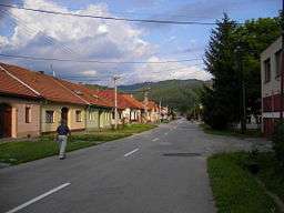
Lučatín
| Lučatín | |
| Village | |
 | |
| Country | Slovakia |
|---|---|
| Region | Banská Bystrica |
| District | Banská Bystrica |
| Elevation | 388 m (1,273 ft) |
| Coordinates | SK 48°47′N 19°20′E / 48.783°N 19.333°ECoordinates: SK 48°47′N 19°20′E / 48.783°N 19.333°E |
| Area | 10.88 km2 (4.20 sq mi) |
| Population | 593 (2004-12-31) |
| Density | 55/km2 (142/sq mi) |
| First mentioned | 1424 |
| Postal code | 976 61 |
| Area code | +421-48 |
| Car plate | BB |
  Location of Lučatín in Slovakia | |
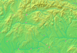  Location of Lučatín in the Banská Bystrica Region | |
| Statistics: MOŠ/MIS | |
Lučatín is a village and municipality in Banská Bystrica District in the Banská Bystrica Region of central Slovakia.
History
In historical records the village was first mentioned in 1424.
Geography
The municipality lies at an altitude of 388 metres and covers an area of 10.833 km². It has a population of about 593 people.
External links
This article is issued from Wikipedia - version of the 9/17/2013. The text is available under the Creative Commons Attribution/Share Alike but additional terms may apply for the media files.