Lundar, Manitoba
| Lundar | |
|---|---|
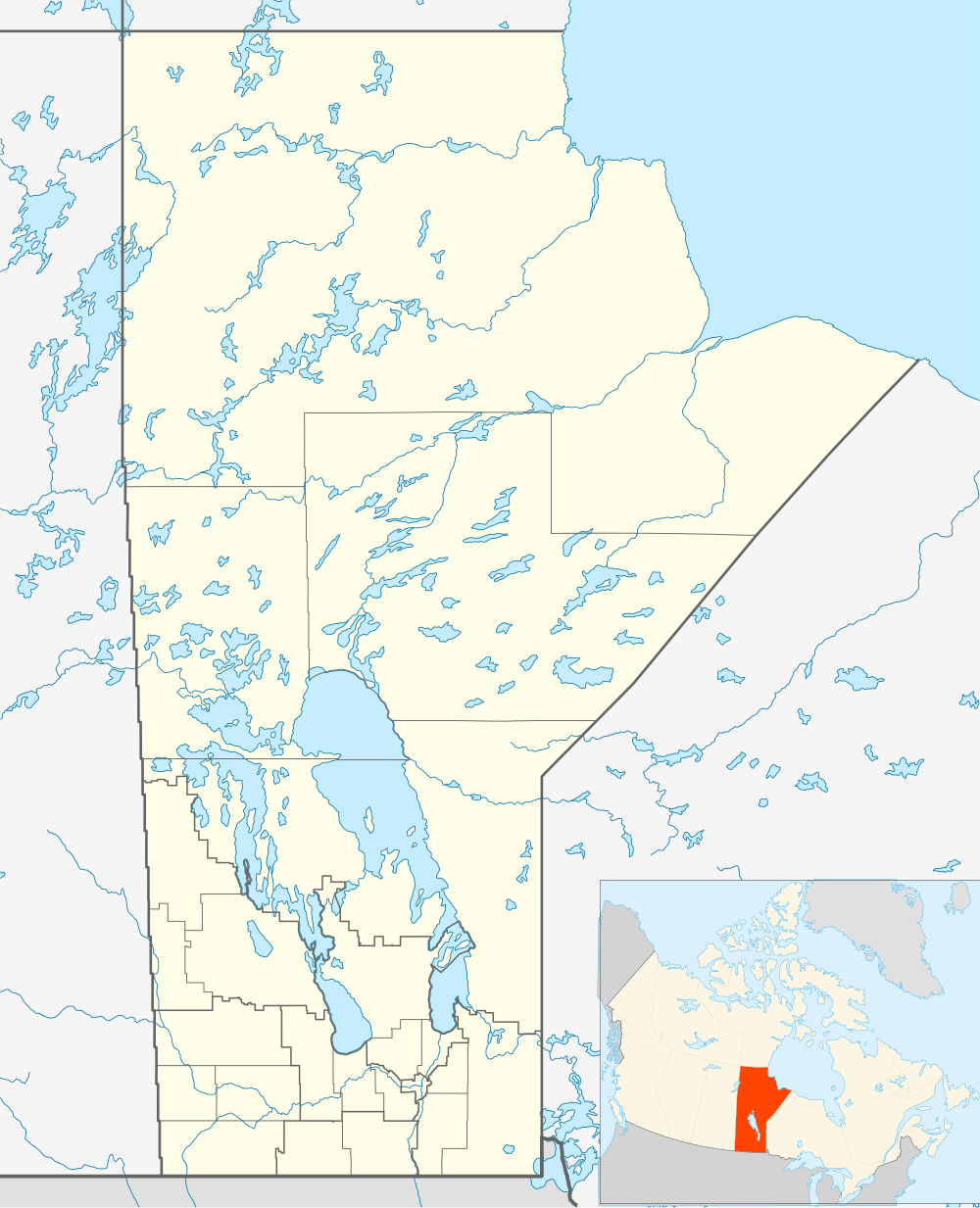 Lundar Location of Lundar in Manitoba | |
| Coordinates: 50°41′44″N 98°1′51″W / 50.69556°N 98.03083°WCoordinates: 50°41′44″N 98°1′51″W / 50.69556°N 98.03083°W | |
| Country |
|
| Province |
|
| Region | Interlake |
| Census Division | No. 18 |
| Government | |
| • Governing Body | Rural Municipality of Coldwell Council |
| • MP | James Bezan |
| • MLA | Thomas G. Nevakshonoff |
| Time zone | CST (UTC−6) |
| • Summer (DST) | CDT (UTC−5) |
| Postal Code | R0C 1Y0 |
| Area code(s) | 204 |
| NTS Map | 062J09 |
| GNBC Code | GAPPO |
Lundar is an unincorporated community recognized as a local urban district[1] situated in Manitoba, Canada. It is located in the Rural Municipality of Coldwell, in Manitoba's Interlake Region, 99 km north of Winnipeg on Hwy 6. Nearby attractions are Lake Manitoba and its beaches, and the Lundar Provincial Park. Lundar is home to a Canada goose refuge, and a large statue of a Canada goose is located in the community. Lundar was founded by Icelandic settlers.
Climate
Lundar experiences a humid continental climate (Köppen Dfb[2]) with warm to hot summers and cold winters. There are two weather stations in the Lundar area reporting climate data:
| Climate data for Lundar | |||||||||||||
|---|---|---|---|---|---|---|---|---|---|---|---|---|---|
| Month | Jan | Feb | Mar | Apr | May | Jun | Jul | Aug | Sep | Oct | Nov | Dec | Year |
| Record high °C (°F) | 7 (45) |
7 (45) |
14 (57) |
28 (82) |
34 (93) |
37 (99) |
34 (93) |
38.5 (101.3) |
38 (100) |
29 (84) |
15.5 (59.9) |
9 (48) |
38.5 (101.3) |
| Average high °C (°F) | −12.7 (9.1) |
−8 (18) |
−1.3 (29.7) |
9.4 (48.9) |
17.7 (63.9) |
22.8 (73) |
24.7 (76.5) |
24.7 (76.5) |
17.7 (63.9) |
9.7 (49.5) |
−2.1 (28.2) |
−9.8 (14.4) |
7.7 (45.9) |
| Daily mean °C (°F) | −18.1 (−0.6) |
−13.5 (7.7) |
−6.6 (20.1) |
3.3 (37.9) |
10.9 (51.6) |
16.4 (61.5) |
18.3 (64.9) |
17.7 (63.9) |
11.3 (52.3) |
4.4 (39.9) |
−6.5 (20.3) |
−14.6 (5.7) |
1.9 (35.4) |
| Average low °C (°F) | −23.6 (−10.5) |
−18.8 (−1.8) |
−11.9 (10.6) |
−2.9 (26.8) |
4.1 (39.4) |
9.9 (49.8) |
11.9 (53.4) |
10.6 (51.1) |
4.9 (40.8) |
−1.1 (30) |
−10.8 (12.6) |
−19.4 (−2.9) |
−3.9 (25) |
| Record low °C (°F) | −44 (−47) |
−45.5 (−49.9) |
−39.5 (−39.1) |
−28 (−18) |
−12 (10) |
−2.5 (27.5) |
0.5 (32.9) |
−2.5 (27.5) |
−7 (19) |
−22 (−8) |
−38 (−36) |
−43.5 (−46.3) |
−45.5 (−49.9) |
| Average precipitation mm (inches) | 14.7 (0.579) |
14.5 (0.571) |
19.8 (0.78) |
27.8 (1.094) |
54.2 (2.134) |
82.5 (3.248) |
66.6 (2.622) |
68.6 (2.701) |
50.6 (1.992) |
35.7 (1.406) |
19.7 (0.776) |
18.5 (0.728) |
473.1 (18.626) |
| Source: Environment Canada[3] | |||||||||||||
| Climate data for Lundar 4SW | |||||||||||||
|---|---|---|---|---|---|---|---|---|---|---|---|---|---|
| Month | Jan | Feb | Mar | Apr | May | Jun | Jul | Aug | Sep | Oct | Nov | Dec | Year |
| Record high °C (°F) | 7 (45) |
7.5 (45.5) |
16.7 (62.1) |
33.5 (92.3) |
36.5 (97.7) |
36 (97) |
35 (95) |
38 (100) |
37 (99) |
25.6 (78.1) |
17.2 (63) |
7 (45) |
38 (100) |
| Average high °C (°F) | −13 (9) |
−9.1 (15.6) |
−1.7 (28.9) |
10.2 (50.4) |
18.5 (65.3) |
22.4 (72.3) |
25.3 (77.5) |
24.1 (75.4) |
16.7 (62.1) |
10.1 (50.2) |
−1.5 (29.3) |
−10.9 (12.4) |
7.6 (45.7) |
| Daily mean °C (°F) | −18.9 (−2) |
−15.3 (4.5) |
−7.7 (18.1) |
3.8 (38.8) |
11.7 (53.1) |
16.1 (61) |
19.1 (66.4) |
17.7 (63.9) |
11 (52) |
4.9 (40.8) |
−5.8 (21.6) |
−16.3 (2.7) |
1.7 (35.1) |
| Average low °C (°F) | −24.8 (−12.6) |
−21.4 (−6.5) |
−13.7 (7.3) |
−2.7 (27.1) |
4.9 (40.8) |
9.8 (49.6) |
12.9 (55.2) |
11.3 (52.3) |
5.2 (41.4) |
−0.4 (31.3) |
−10.1 (13.8) |
−21.5 (−6.7) |
−4.2 (24.4) |
| Record low °C (°F) | −44 (−47) |
−43.9 (−47) |
−35.6 (−32.1) |
−32 (−26) |
−9.5 (14.9) |
−3 (27) |
1.7 (35.1) |
−0.6 (30.9) |
−7.8 (18) |
−17.5 (0.5) |
−37 (−35) |
−38.9 (−38) |
−44 (−47) |
| Average precipitation mm (inches) | 12.1 (0.476) |
12.9 (0.508) |
17.7 (0.697) |
27.7 (1.091) |
49.6 (1.953) |
69.6 (2.74) |
52.7 (2.075) |
85.6 (3.37) |
58.5 (2.303) |
35.1 (1.382) |
18.5 (0.728) |
16.8 (0.661) |
456.8 (17.984) |
| Source: Environment Canada[3] | |||||||||||||
References
- ↑ "Local Urban Districts Regulation". Government of Manitoba. April 23, 2016. Retrieved April 24, 2016.
- ↑ "Updated world map of the Köppen-Geiger climate classification" (PDF). University of Melbourne. Retrieved February 2, 2012.
- 1 2 Environment Canada - Canadian Climate Normals 1971-2000—Canadian Climate Normals 1971–2000, accessed 23 April 2011
This article is issued from Wikipedia - version of the 4/24/2016. The text is available under the Creative Commons Attribution/Share Alike but additional terms may apply for the media files.