Magyartelek
| Magyartelek | |
|---|---|
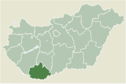 Location of Baranya county in Hungary | |
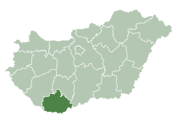
 Magyartelek Location of Magyartelek | |
| Coordinates: 45°56′34″N 17°59′04″E / 45.94287°N 17.98442°ECoordinates: 45°56′34″N 17°59′04″E / 45.94287°N 17.98442°E | |
| Country |
|
| County | Baranya |
| Area | |
| • Total | 6.84 km2 (2.64 sq mi) |
| Population (2004) | |
| • Total | 230 |
| • Density | 33.62/km2 (87.1/sq mi) |
| Time zone | CET (UTC+1) |
| • Summer (DST) | CEST (UTC+2) |
| Postal code | 7954 |
| Area code(s) | 73 |
Magyartelek is a village in Baranya county, Hungary.
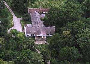
Aerial photography: Magyartelek, palace
External links
- Street map (Hungarian)
This article is issued from Wikipedia - version of the 5/4/2015. The text is available under the Creative Commons Attribution/Share Alike but additional terms may apply for the media files.