Maheshwaram
| Maheshwaram మహేశ్వరం | |
|---|---|
| village | |
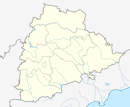 Maheshwaram  Maheshwaram Location in Telangana, India | |
| Coordinates: 17°07′58″N 78°26′12″E / 17.132875°N 78.43665°ECoordinates: 17°07′58″N 78°26′12″E / 17.132875°N 78.43665°E | |
| Country |
|
| State | Telangana |
| District | RangaReddi |
| Talukas | Narsampet |
| Elevation | 221 m (725 ft) |
| Languages | |
| • Official 1 | Telugu |
| • Official 2 | Urdu |
| Time zone | IST (UTC+5:30) |
| PIN | 501359 |
| Vehicle registration | TS |
| Website |
telangana |
Maheswaram is a village n mandal in RangaReddi district in the state of Telangana in India.
Geography
Maheshwaram (Telugu: మహేశ్వరం) is located at 17° 55'0N 79° 54' 0E. It has average altitude of 221 meters. Maheshwaram is Major village Panchayath consisting of 3000 to 5000 people. Primary Occupation is Agriculrure, there are other occupations also like fishing, Toddy tapping, sheppards, carpenters etc...
Maheswaram contains 3 ponds naming Maheswaram cheruvu, panjeruvu, veramma kunta.
Village agriculture mainly depends on raining water and ground water. The main crops cultivating are paddy, cotton, corn, chilly, turmeric, ground nut etc...
Election Information
- Assembly Election Results in 2014 - T Krishna Reddy of TDP won
- Assembly Election Results in 2009 - PATLOLLA SABITHA Won with 37.21 votes %
History
There is a famous shivaganga temple of four hundred years old.The name Maheshwaram came from this. The Qutb Shahi mosque is of great craftmenship and is the grand mosque of Maheshwaram region.[1]
References
- ↑ "How protected is our heritage?". timesofindia.indiatimes.com. September 12, 2011. Retrieved September 12, 2011.