Manalipa
| Manalipa | |
|---|---|
| Island Barangay | |
.svg.png) Manalipa Location of Manalipa Island in the Philippines | |
| Coordinates: PH 6°53′8″N 122°16′55″E / 6.88556°N 122.28194°ECoordinates: PH 6°53′8″N 122°16′55″E / 6.88556°N 122.28194°E | |
| Country | Philippines |
| Region | Zamboanga Peninsula |
| City | Zamboanga City |
| Barangay | Manalipa |
| Population (August 1, 2007)[1] | |
| • Total | 1,674 |
Manalipa (also known as Malanipa[2][3]) is one of the 28[4] offshore islands of the City of Zamboanga in southern Philippines. Located about 0.5 kilometres (0.31 mi) east of the southern tip of the island is Little Manalipa Island (also known as Little Malanipa Island).
Location
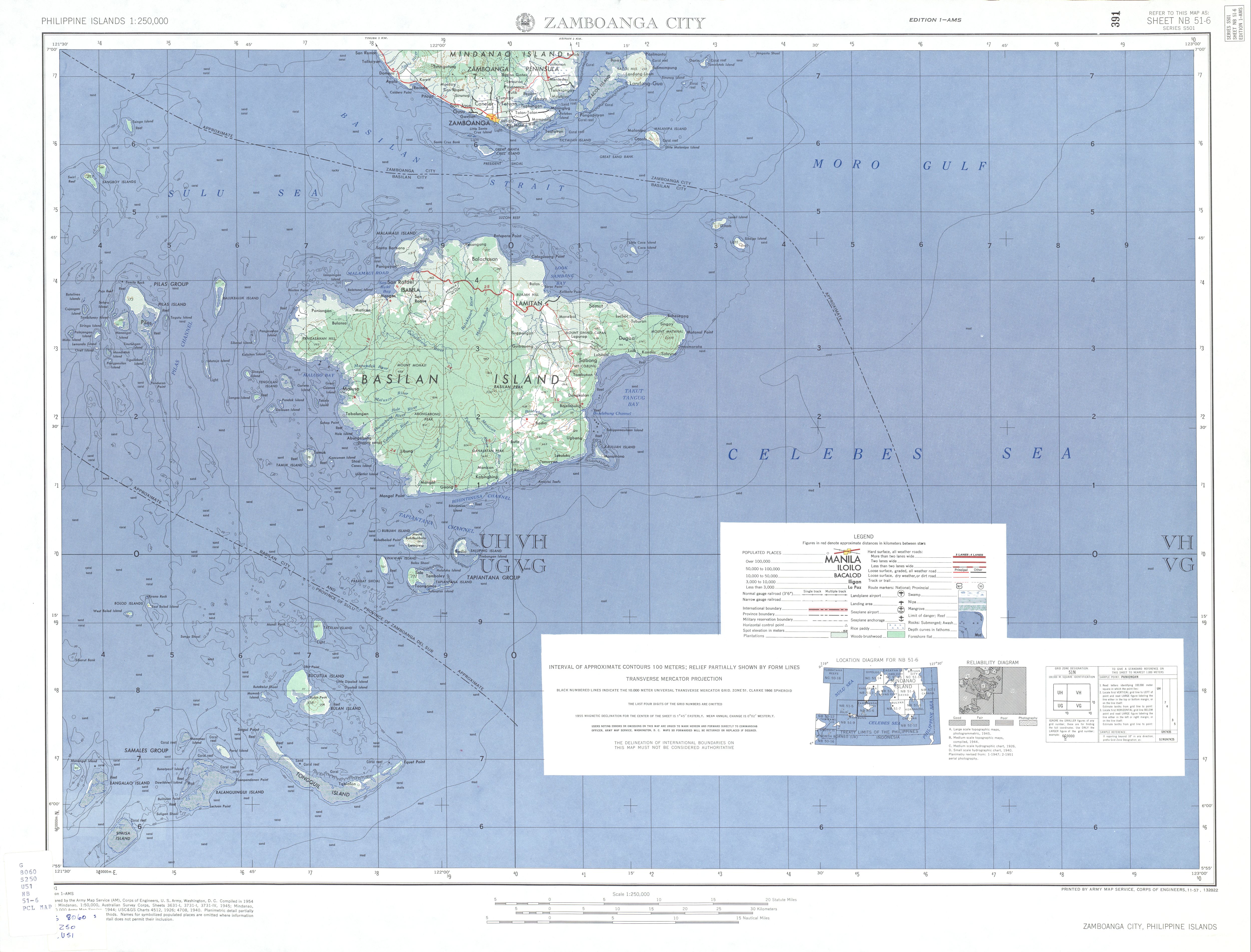
The island is located about 25 kilometres (16 mi) east of downtown Zamboanga City, and 8 kilometres (5.0 mi) southeast of Sacol Island, on the beautiful Moro Gulf.[2]
Communities
The barangay of Manalipa, the lone community on the island, has population of 1,674 (as of August 1, 2007).[1]
Features
Scuba diving is very good around the island.[2]
See also
References
- 1 2 "Zamboanga City". PSGC Interactive. Retrieved on 2011-08-28.
- 1 2 3 "Islands of Zamboanga City". Zamboanga.com. Retrieved on 2011-08-25.
- ↑ "Zamboanga City Map". University of Texas in Austin Library. Retrieved on 2011-08-28.
- ↑ "Zamboanga City Profile". National Statistical Coordination Board. Retrieved on 2011-08-28.
Ciudad de Zamboanga | ||
| Geography |  | |
| Government | ||
| History | ||
| Buildings | ||
| Education | ||
| Media |
| |
| Culture | ||
| Transportation | ||
This article is issued from Wikipedia - version of the 9/28/2015. The text is available under the Creative Commons Attribution/Share Alike but additional terms may apply for the media files.