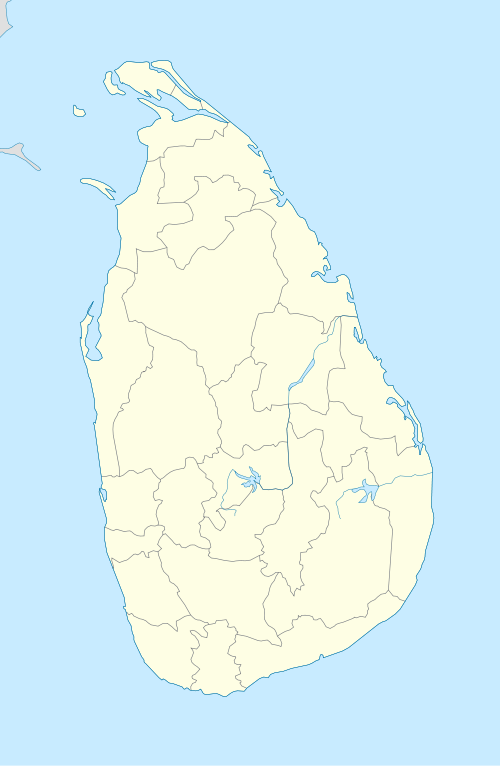
Mannar Island
| Mannar மன்னார் මන්නාරම | |
|---|---|
| Island | |
 Mannar | |
| Coordinates: 9°03′0″N 79°50′0″E / 9.05000°N 79.83333°E | |
| Country | Sri Lanka |
| Province | Northern |
| District | Mannar |
| DS Division | Mannar |
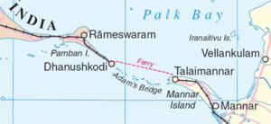
Mannar Island (Tamil: மன்னார் தீவு; Sinhalese: මන්නාරම් දූපත) formerly called Manar Island, is part of Mannar District, Sri Lanka. It is linked to the main island of Sri Lanka by a causeway. It has an area of about 50 square kilometres, mainly covered with vegetation and sand. Ram setu (Tamil:ஆதம் பாலம், is a chain of limestone shoals, between Pamban Island, also known as Rameswaram Island, off the southeastern coast of Tamil Nadu, India, and Mannar Island, off the northwestern coast of Sri Lanka. Geological evidence suggests that this bridge is a former land connection between India and Sri Lanka.
Between 1914 and 1964, there was a train and ferry link from mainland India via Dhanushkodi and Talaimannar to Colombo, but this was not resumed after the disastrous damages caused by a cyclone in 1964. The Palk Strait bridge was proposed in June 2015, to link mainland India to Mannar.
The island is dry and barren; fishing is economically important.[1]
Talaimannar is a small fisherman village located at west side of Mannar Island and is the most windy place in the whole Sri Lanka, recently the government propose a wind farm but in contrast with the local community as the area is a Bird sanctuary... one of 3 most beautiful bird sanctuary in the whole Sri Lanka https://www.wind-watch.org/news/2016/06/28/tension-in-the-air-with-proposed-wind-plant/ Talaimannar is also a famous kitesurf and kiteboard destination this last can be a real business develop solution for the local community
Its main settlements are Mannar and Erukkulampiddi on its eastern coast and Pesalai on its northern coast, all connected by the A14 road which leads across the bridge to mainland Sri Lanka[2][3]
Coordinates: 9°03′N 79°50′E / 9.050°N 79.833°E
References
- ↑ Britannica article.
- ↑ Google Maps (Map). Google.
- ↑ Bing Maps (Map). Microsoft and Harris Corporation Earthstar Geographics LLC.