Meadowview, Virginia
| Meadow View | |
|---|---|
| CDP | |
 | |
 Meadow View Location within the Commonwealth of Virginia | |
| Coordinates: 36°45′59″N 81°52′23″W / 36.76639°N 81.87306°WCoordinates: 36°45′59″N 81°52′23″W / 36.76639°N 81.87306°W | |
| Country | United States |
| State | Virginia |
| County | Washington |
| Population (2010) | |
| • Total | 967 |
| Time zone | Eastern (EST) (UTC-5) |
| • Summer (DST) | EDT (UTC-4) |
| ZIP codes | 24361 |
| FIPS code | 51-50776 |
| GNIS feature ID | 2584879 |
Meadowview (listed as Meadow View by the Census Bureau) is a census-designated place (CDP) in Washington County, Virginia, United States. The population was 967 at the 2010 census.[1] It is part of the Kingsport–Bristol (TN)–Bristol (VA) Metropolitan Statistical Area, which is a component of the Johnson City–Kingsport–Bristol, TN-VA Combined Statistical Area – commonly known as the "Tri-Cities" region.
History
The quiet community of Meadowview was called Meadow View (two separate words) until the 1930s. Native American trails passed near the later site of the town. The first settler was James Glenn, who purchased land in 1783. Different theories exist regarding the origin of community's name. Some believe the name may come from an early name of Meadow Mountain, the name for nearby Whitetop Mountain on the 1749 Peter Jefferson Map. Another explanation is that William Edmondson named his house Edmondson's Meadow and enjoyed looking at the numerous green meadows surrounding his house. Until the railroad's arrival in 1856, the town was small and remote. After the train arrived, stockyards and a transportation center were established in Meadowview to ship livestock, produce and goods to all over the eastern US. The town remained busy and active until the 1950s.[2] The area is now mainly a residential community.
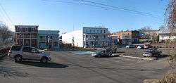
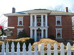
Gallery
Schools
- Meadowview Elementary
American Chestnut Foundation
The American Chestnut Foundation is developing blight-resistant trees of the American chestnut (Castanea dentata) at its experimental farms near Meadowview.
References
- ↑ Virginia Trend Report 2: State and Complete Places (Sub-state 2010 Census Data). Missouri Census Data Center. Accessed 2011-06-08.
- ↑ Tennis, Joe (2004). Southwest Virginia Crossroads: An Almanac of Place Names and Places to See. The Overmountain Press. p. 83. ISBN 978-1-57072-256-1.
Further reading
- Wagner, Jennifer and Williams, Stan. "Meadowview," Published by the Historical Society of Washington County, Virginia, 1998.
External links
Municipalities and communities of Washington County, Virginia, United States | ||
|---|---|---|
| Towns |  | |
| CDPs | ||
| Unincorporated communities | ||
| Footnotes | ‡This populated place also has portions in an adjacent county or counties | |