Metpally
| Metpally మెట్పల్లి مٹ پلی | |
|---|---|
| Town | |
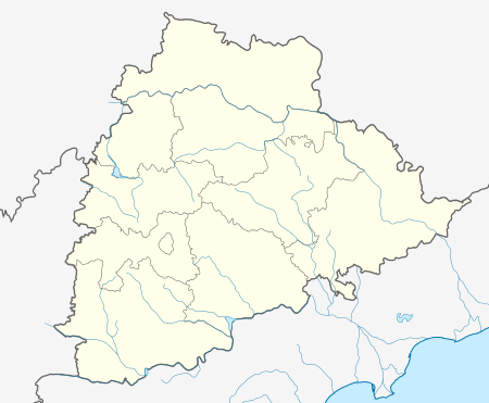 Metpally  Metpally Location in Telangana, India | |
| Coordinates: 18°50′57″N 78°37′34″E / 18.8492°N 78.6261°ECoordinates: 18°50′57″N 78°37′34″E / 18.8492°N 78.6261°E | |
| Country | India |
| State | Telangana |
| District | Karimnagar |
| Area[1] | |
| • Total | 48.05 km2 (18.55 sq mi) |
| Population (2011)[1] | 50,902 |
| • Density | 1,100/km2 (2,700/sq mi) |
| Languages | |
| • Official | Telugu, Urdu |
| PIN | 505325 |
| Vehicle registration | TS–02 |
| Website |
telangana |
Metpally is a town in Karimnagar district of the Indian state of Telangana. It is located in Metpally mandal.[1][2] Metpally is about 222.4 km away from Hyderabad.
Government and politics
Civic administration
Metpally Municipality was constituted in 2005 and is classified as a third grade municipality with 24 election wards.[3] The jurisdiction of the civic body is spread over an area of 48.05 km2 (18.55 sq mi).
Economy
The main occupation of the villagers is agriculture. A variety of crops are grown, including corn, turmeric, cotton, sunflower, Gingelly, castor, moong dal and groundnuts.[4]
References
- 1 2 3 "District Census Handbook – Karimnagar" (PDF). Census of India. pp. 12, 50. Retrieved 9 June 2016.
- ↑ "District Level Mandal wise list of villages in Karimnagar district" (PDF). Chief Commissioner of Land Administration. National Informatics Centre. Archived from the original (PDF) on 19 December 2014. Retrieved 5 March 2016.
- ↑ "Urban Local Body Information" (PDF). Directorate of Town and Country Planning. Government of Telangana. Retrieved 28 June 2016.
- ↑ T.JESHURAN VENKATESH, JOY SAMEUL. "A report of "Madipally village Knowledge" Thorrur Mandal, Warangal District, Andhra Pradesh.". Palle Srujana.
| Wikimedia Commons has media related to Metpally. |
| District headquarters | |
|---|---|
| Mandals | |
| Cities | |
| Towns | |
| Census towns | |
| Lok Sabha constituencies | |
| Assembly constituencies | |
This article is issued from Wikipedia - version of the 10/29/2016. The text is available under the Creative Commons Attribution/Share Alike but additional terms may apply for the media files.