Moblake

Coordinates: 52°59′42″N 2°28′48″W / 52.995°N 2.48°W
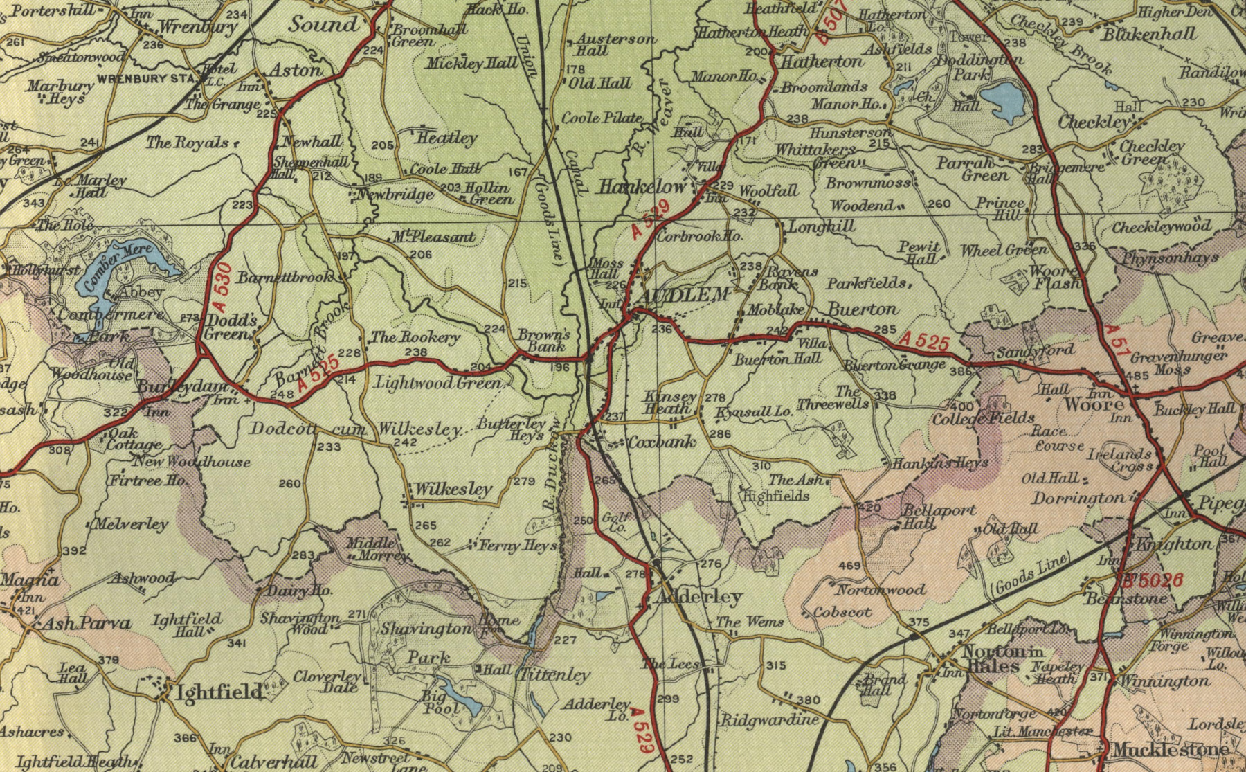
Moblake is a hamlet in Cheshire, England. It is situated on Longhill Lane, approximately 2 miles (3.2 km) east of the village of Audlem,[1] just inside the boundary of the parish of Buerton.
References
- ↑ "Photographic image of map including Moblake" (JPG). Oldemaps.co.uk. Retrieved 2016-11-24.
This article is issued from Wikipedia - version of the 11/24/2016. The text is available under the Creative Commons Attribution/Share Alike but additional terms may apply for the media files.