Mohnyin Township
This article is about the township. For the district, see Mohnyin District. For the town, see Mohnyin. For the former state, see Mongyang.
| Mohnyin Township မိုးညှင်းမြို့နယ် | |
|---|---|
| Township | |
 Mohnyin Township Location in Burma | |
| Coordinates: 24°47′N 96°22′E / 24.783°N 96.367°ECoordinates: 24°47′N 96°22′E / 24.783°N 96.367°E | |
| Country | Burma |
| State | Kachin State |
| District | Mohnyin District |
| Capital | Mohnyin |
| Time zone | MST (UTC+6:30) |
Mohnyin Township[1] (Burmese: မိုးညှင်းမြို့နယ်; also Kamaing Township) is a township of Mohnyin District in the Kachin State of Burma (Myanmar).[2] The principal town and administrative centre is Mohnyin. Jade and gem quality kyanite[3] are produced in Mohnyin Township, as well as amber, gold, asafoetida, and jasper.[4] Indawgyi Lake Wildlife Sanctuary is located in the central north of the township.
Hopin Sub-township is part of Mohnyin Township. Hopin Sub-township is constituted with one town, four wards, 8 village tracts and 27 villages in 2012. There are 8,315 households with a population of 49,160. The area of Hopin Sub-township is 642 square kilometres (247.9 sq mi). It is 35 kilometres (22 mi) from Mohnyin.[5]
Notes
- ↑ "Myanmar States/Divisions & Townships Overview Map" Myanmar Information Management Unit (MIMU)
- ↑ "Developing Kachin State with peace, unity and pleasantness" MRTV3
- ↑ Staff "Gem News International: Kyanite from Mohnyin Township" Gems & Gemology 45(1): pp. 59—75, pages 68—69
- ↑ Golden Jubilee Publication Committee (2005) Myanmar Historical Commission conference proceedings: 12–14 January 2005 volume 3, Myanmar Historical Commission, Ministry of Education, Yangon, Myanmar, page 69, OCLC 63241287
- ↑ http://www.mrtv3.net.mm/newpaper/18newsn.pdf Page 1 Col 5
External links
- "Mohnyin Google Satellite Map" map of administrative area with listing of principal settlements, from Maplandia
Capital: | |
|
Capital: Myitkyina | ||
| Bhamo District |  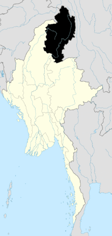 | |
| Mohnyin District | ||
| Myitkyina District | ||
| Putao District | ||
| Main cities and towns | ||
This article is issued from Wikipedia - version of the 7/7/2016. The text is available under the Creative Commons Attribution/Share Alike but additional terms may apply for the media files.