Molescroft
| Molescroft | |
 Molescroft |
|
| Population | 6,820 (2011 census)[1] |
|---|---|
| OS grid reference | TA019407 |
| – London | 160 mi (260 km) S |
| Civil parish | Molescroft |
| Unitary authority | East Riding of Yorkshire |
| Ceremonial county | East Riding of Yorkshire |
| Region | Yorkshire and the Humber |
| Country | England |
| Sovereign state | United Kingdom |
| Post town | BEVERLEY |
| Postcode district | HU17 |
| Dialling code | 01482 |
| Police | Humberside |
| Fire | Humberside |
| Ambulance | Yorkshire |
| EU Parliament | Yorkshire and the Humber |
| UK Parliament | Beverley and Holderness |
Coordinates: 53°51′11″N 0°27′06″W / 53.853074°N 0.451765°W
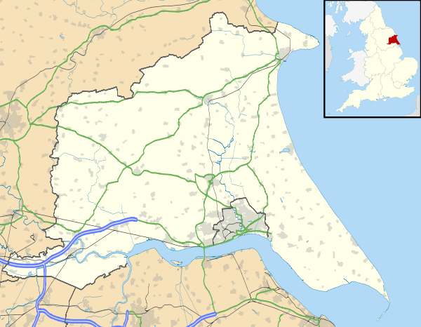
Molescroft is a village and civil parish in the East Riding of Yorkshire, England. It is situated approximately 0.5 miles (0.8 km) north-west of Beverley town centre adjoining its northern border. It lies to the north of the A1174 road.
The Yorkshire Coast railway line from Hull to Scarborough passes through the parish but the nearest station is Beverley.
According to the 2011 UK census, Molescroft parish had a population of 6,820,[1] an increase on the 2001 UK census figure of 6,810.[2]
Longcroft School is situated in the village, as is Molescroft Primary School.
Molescroft is listed in the Domesday Book as in the Hundred of Sneculfcros in the East Riding of Yorkshire. The settlement contained two households, two villagers, and two ploughlands. In 1066 Ealdred, Archbishop of York, was the Lord, this in 1086 transferred to the canons of Beverley Minster, and the later Archbishop of York Thomas of Bayeux who was also Tenant-in-chief to King William I.[3]
In 1823 Molescroft was in the parish of Beverley Minster, and the Wapentake of Harthill. Population at the time was 111, with occupations including four farmers, and the landlord of The Wellington public house. Residents included two gentlemen.[4]
References
- 1 2 "Key Figures for 2011 Census: Key Statistics: Area: Molescroft CP (Parish)". Neighbourhood Statistics. Office for National Statistics. Retrieved 6 February 2013.
- ↑ "2001 Census: Key Statistics: Parish Headcounts: Area: Molescroft CP (Parish)". Neighbourhood Statistics. Office for National Statistics. Retrieved 19 May 2008.
- ↑ Molescroft in the Domesday Book
- ↑ Baines, Edward (1823): History, Directory and Gazetteer of the County of York, p. 370
- Gazetteer — A–Z of Towns Villages and Hamlets. East Riding of Yorkshire Council. 2006. p. 8.
External links
 Media related to Molescroft at Wikimedia Commons