Mont Faron
| Mont Faron | |
|---|---|
 | |
| Highest point | |
| Elevation | 584 m (1,916 ft) |
| Coordinates | 43°08′58″N 5°57′04″E / 43.14944°N 5.95111°ECoordinates: 43°08′58″N 5°57′04″E / 43.14944°N 5.95111°E |
| Geography | |
 Mont Faron France | |
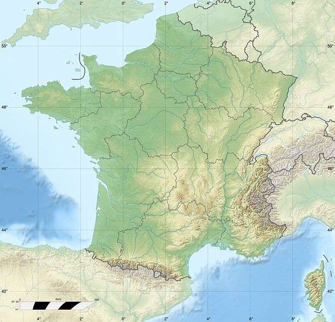
| Location | Var, France |
| Climbing | |
| Easiest route | road or cable car |
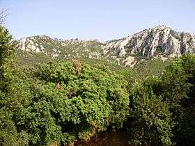
Mont Faron is a mountain overlooking the city and roadstead of Toulon, France. It is 584m high. At its peak is a memorial dedicated to the 1944 Allied landings in Provence (Operation Dragoon), and to the liberation of Toulon.
The top can be reached either by a cable car from Toulon, or by a steep and narrow road which ascends from the west side and descends on the east side. The road is one of the most challenging stages of the annual Paris–Nice and Tour Méditerranéen bicycle races.
Near the summit there is a zoo which covers an area of 1.5 hectares.
External links
| Wikimedia Commons has media related to Mont Faron. |
- (French) Mont Faron - Official Site
- (French) Photos Le Revest
- (French) Faron Zoo
- (French) Faron cablecar site
- (French) Site on the memorial
- (French) Vidéo Toulon - view from Mont Faron
- (French) The "montée du Faron", pedestrian route on Easter Sunday.
- (French) Photos
- (French) Tourist site on Faron
- (French) Fire on Mont Faron
This article is issued from Wikipedia - version of the 12/6/2015. The text is available under the Creative Commons Attribution/Share Alike but additional terms may apply for the media files.