Montaña Santa Bárbara National Park
| Montaña Santa Bárbara National Park | |
|---|---|
|
IUCN category II (national park) | |
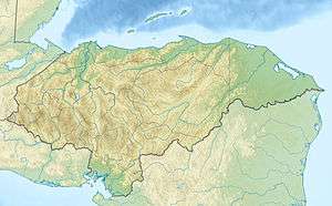 Location of Montaña Santa Bárbara in Honduras | |
| Location | Honduras |
| Coordinates | 14°54′56″N 88°07′54″W / 14.91556°N 88.13167°WCoordinates: 14°54′56″N 88°07′54″W / 14.91556°N 88.13167°W[1] |
| Area | 121.3 km2 (46.8 sq mi)[1] |
| Established | 1 January 1987[1] |
Montaña Santa Bárbara National Park (previously named Santa Bárbara National Park) is a national park in Honduras. It was established on 1 January 1987 and covers an area of 121.3 square kilometres. It has an altitude of 2,777 metres.[1]
Its peak can be reached from the southeast side, ascending from the village of Los Andes.
References
- 1 2 3 4 "Honduras - Montaña Santa Bárbara". United Nations Environment Programme. Retrieved 1 March 2010.
This article is issued from Wikipedia - version of the 11/19/2016. The text is available under the Creative Commons Attribution/Share Alike but additional terms may apply for the media files.