Mount Selwyn (mountain)
This article is about the mountain in Victoria. For the ski resort in New South Wales, see Selwyn Snowfields. For mountain range in Queensland, see Selwyn Range (Australia).
For other uses, see Selwyn Range.
| Mount Selwyn | |
|---|---|
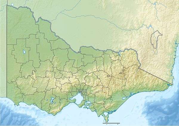 Mount Selwyn Location in Victoria | |
| Highest point | |
| Elevation | 1,411 metres (4,629 ft) AHD [1] |
| Coordinates | 37°2′38″S 146°53′57″E / 37.04389°S 146.89917°ECoordinates: 37°2′38″S 146°53′57″E / 37.04389°S 146.89917°E [2] |
| Geography | |
| Location | Alpine National Park, Victoria, Australia |
| Parent range | Victorian Alps, Great Dividing Range |
Mount Selwyn is a mountain that is part of the Victorian Alps of the Great Dividing Range, located in the Alpine National Park in the Australian state of Victoria. Mount Selwyn has an altitude of 1,411 metres (4,629 ft) AHD.[1]
Located approximately 30 kilometres (19 mi) from Dinner Plain, 35 kilometres (22 mi) from Bright, and 38 kilometres (24 mi) from Porepunkah, the nearest sealed road to Mount Selwyn is the Great Alpine Road.[1]
See also
References
- 1 2 3 "Map of Mount Selwyn, VIC". Bonzle Digital Atlas of Australia. Retrieved 21 January 2014.
- ↑ "Mount Selwyn". Gazetteer of Australia online. Geoscience Australia, Australian Government.
This article is issued from Wikipedia - version of the 12/6/2015. The text is available under the Creative Commons Attribution/Share Alike but additional terms may apply for the media files.